What is recorded here
Galey Church in County Kerry keeps a shallow bullaun stone buried inside its northeastern graveyard wall. Carved from local sedimentary rock, the smooth circular basin still holds the shape of repeated hands and poured water. Perhaps mothers dipped swaddled infants there or travellers drank before leaving the church grounds. The ruined building has lost its roof and most of its purpose, yet the small stone continues its quiet work of giving clean water to whoever finds the hidden entrance.
Ruins of Galey Church (KE010-018----) are depicted standing in centre of small circular-shaped graveyard (KE010-018001-) the outline of which was shown with dotted line on the 1841 ed. OS 6-inch map.
In 2011 a graveyard survey carried out by Ann Frykler and Robert Hanbidge of Headland Archaeology Ltd. recorded the following details: ‘The boundaries of the original graveyard consist of rubblestone walls with rubblestone coping. The main entrance which is located midway along the northwestern boundary, fronts directly onto the road and is splayed in plan with concaved enclosing walls. The entrance consists of a pair of dressed rubblestone square‐profile piers with roughly dressed rubblestone coping and supports a single‐leaf
wrought‐iron gate. A possible shallow font/bullaun (Miscellaneous item No. 06) was found within the fabric of the northeastern boundary to the interior. Carved in a locally sourced sedimentary stone, the circular plan and shallow concave profile suggests that this may indeed be a font/bullaun.
Miscellaneous No. 01: Located in the eastern half of the site, 3m to the northwest of a tomb (Grave No.
121) is an unnamed gravemarker (Grave No. 320). This gravemarker comprises a roughly circular,
shallow (c. 1 cm deep) concave feature carved into the upper surface of a slate stone. The
circular feature is roughly carved and therefore does not share many similarities with fonts or bullaun
stones, which are often more finely carved and are more ‘basin like’ in profile with greater depths.
There are several smaller depressions around the base of this feature which are unusual and may
indicate that the feature may have served as some sort of receptacle, possibly associated with a grave
or otherwise, although this cannot be confirmed.
Miscellaneous No. 06: Included within the fabric of the northeastern boundary to the graveyard is a
possible font/bullaun stone. Carved in a locally sourced sedimentary stone, the feature has a circular plan and concave profile which though relatively shallow is similar to other shallow fonts and bullaun stones with smooth sides and a fine concave profile. The basin is deeper in profile in comparison to miscellaneous item No. 01, a cruder example of a basin carved into a narrow slate gravemarker' (Hanbidge 2011, 15).
See attached plan of church site and graveyard courtesy of Robert Hanbidge
Compiled by: Caimin O'Brien
Date of upload: 10 June 2022
The monument record does not grant public access. Check the route and ask the landowner before entering private land.
- What survives
- Recorded monument
Places near here
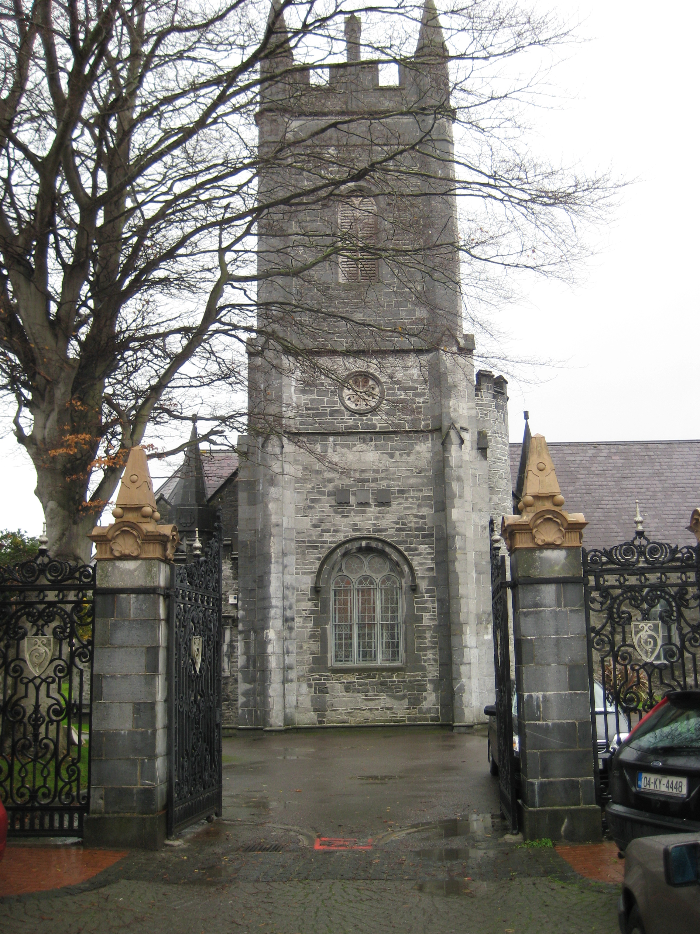 Galey Church (in ruins)Church · 34 yd
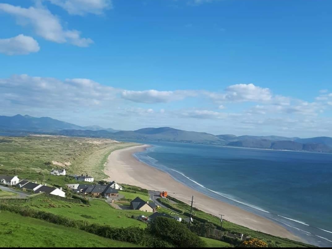 Enclosure in Inch East (iraghticonnor By.)Enclosure · 720 yd
 Bawn in GlouriaBawn · 1495 yd
 St Bartholomews WellHoly well · 1624 yd
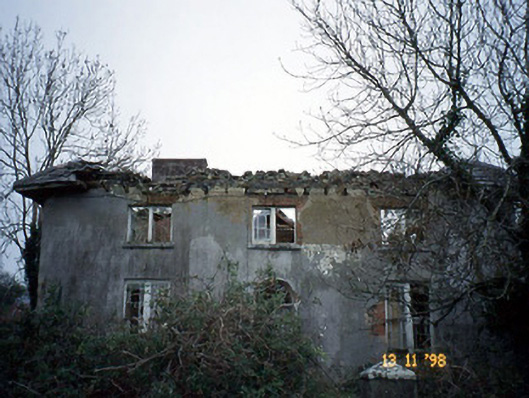 Coolardhouse · 1672 yd
 Bawn in BallydonohoeBawn · 1.7 mi
 Lartigue MonorailMuseum · 2.6 mi
 John B. Keane GroveMemorial · 2.6 mi
 Kerry Writers' MuseumMuseum · 2.9 mi
 Bryan MacMahonMemorial · 2.9 mi
 KnockanoreMountain / peak · 4.6 mi
 Men's BeachBeach / strand · 6.5 mi