What is recorded here
Immediately N of the ringfort (KE005-070----) is a sub-rectangular enclosure, possibly a bawn (KE005-069----). It is cut in half by a fieldbank running E-W. All that remains of this enclosure is a raised area measuring 17m x 14m and between .5m-1.4m above the height of the surrounding land. An opening of c 4m appears to the S, and just inside this opening is a small depression 3.4m. x 3.6m. This bawn could possibly be connected to the ringfort. Toal, ‘North Kerry Archaeological Survey’. Dingle. Brandon in association with FAS Training and Employment Authority (1995), no. 255.
Immediately N of the ringfort (KE005-070----) is a sub-rectangular enclosure, possibly a bawn (KE005-069----). It is cut in half by a fieldbank running E-W. All that remains of this enclosure is a raised area measuring 17m x 14m and between .5m-1.4m above the height of the surrounding land. An opening of c 4m appears to the S, and just inside this opening is a small depression 3.4m. x 3.6m. This bawn could…
From the National Monuments Service (Archaeological Survey of Ireland) record KE005-069
The monument record does not grant public access. Check the route and ask the landowner before entering private land.
- What survives
- Recorded monument
Places near here
Photo credits
- National Inventory of Architectural Heritage
- Colin Park, Wikimedia Commons · CC BY-SA 2.0
- Unknown author Unknown author, Wikimedia Commons · Public domain
- N Chadwick, Geograph · CC BY-SA 2.0
- No machine-readable author provided. Larsoner~commonswiki assumed (based on copyright claims)., Wikimedia Commons · Public domain
- Zairon, Wikimedia Commons · CC BY 4.0
- Grainne Toomey, Wikimedia Commons · CC BY-SA 4.0
- Patrice78500, Wikimedia Commons · Public domain
- dennis white, Wikimedia Commons · CC BY-SA 3.0
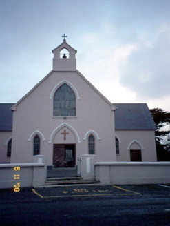 Saint Teresa's Catholic ChurchChurch/chapel · 566 yd
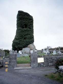 Lisselton ChurchChurch/chapel · 1343 yd
 KnockanoreMountain / peak · 2.9 mi
 Lartigue MonorailMuseum · 4.2 mi
 John B. KeaneMemorial · 4.5 mi
 Bryan MacMahonMemorial · 4.6 mi
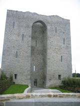 Listowel Castle (in ruins)Castle, tower house · 4.6 mi
 Ballybunion Cliff PathWalking route · 5.0 mi
 Ladies' BeachBeach / strand · 5.1 mi
 Round Tower5.2 mi
 Nuns' BeachBeach / strand · 5.2 mi
 Bromore CliffsCliff · 5.5 mi
More castles and forts in County Kerry · All of County Kerry
What do you know about this place?