What is recorded here
Fairy fort / earthen ringfort in Inch-Moor stands immediately S of the Galey River in County Kerry, Ireland. Its sub-circular earthwork reaches 32.4m N-S and 24m E-W, with a 6m wide bank rising 1.5m externally. A U-shaped fosse preserves best to the S, while a 13m gap opens to the SE. People may have lived, hidden or marked this place before it became a fairy fort in local memory.
Internal diameter 32.4m N-S, 24m E-W
This univallate rath is situated immediately S of the Galey River. The site consists of a sub-circular area enclosed by a bank, though to the N through W to SW no bank is evident, just a rise above the surrounding land. The enclosing earthen bank is, on average, 6m wide at the base and rises to a maximum of 1.5m externally and 1m above the interior. An exterior fosse is to be noted N through E to S; it is best preserved to the S where it is U shaped, 1.4m wide and .6m below the height of the surrounding land. Numerous breaks exist in the bank and there is a 13m wide gap to the SE.
The above description is derived from C. Toal, ‘North Kerry Archaeological Survey’. Dingle. Brandon in association with FAS Training and Employment Authority (1995), no. 410. In certain instances the entries have been revised and updated in the light of recent research.
Date of upload: 2 August 2013
The monument record does not grant public access. Check the route and ask the landowner before entering private land.
- What survives
- Recorded monument
Places near here
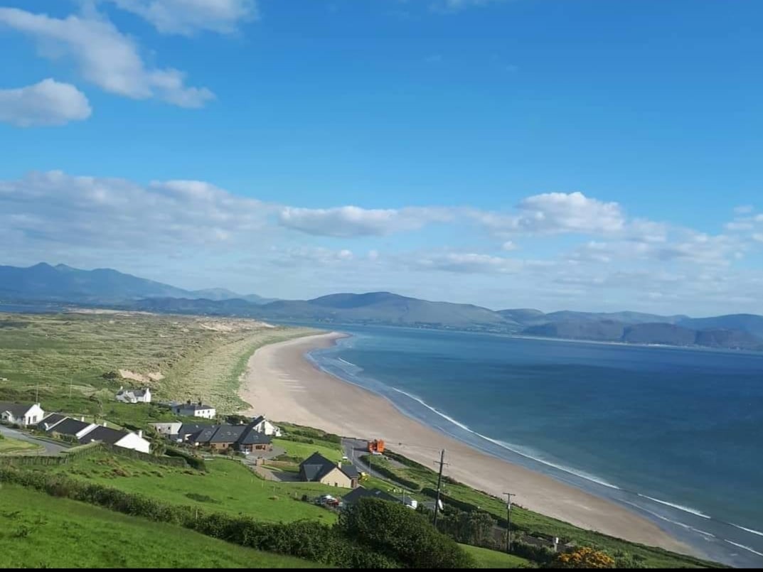 Enclosure in Inch East (iraghticonnor By.)Enclosure · 324 yd
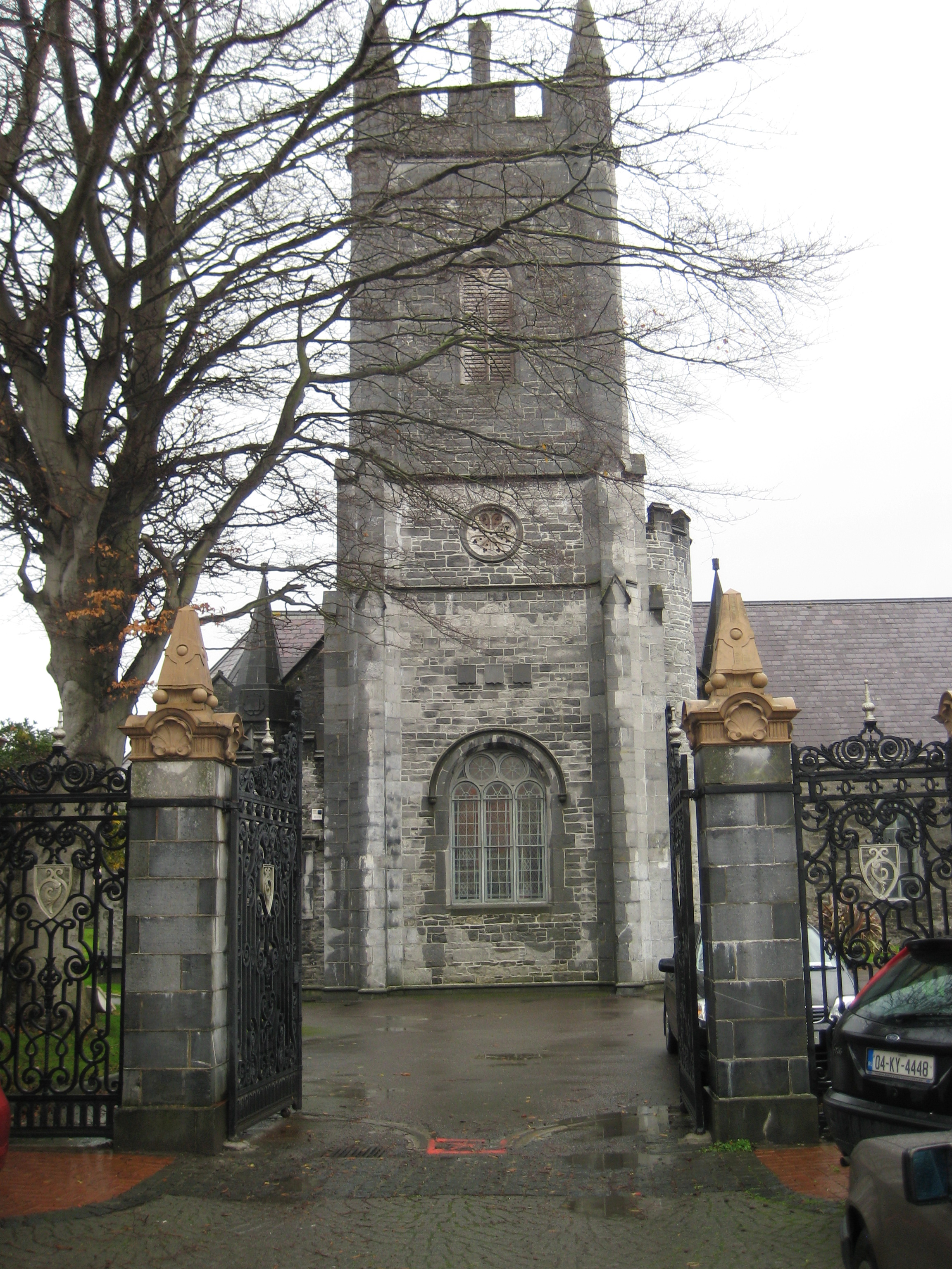 Galey Church (in ruins)Church · 972 yd
 St Bartholomews WellHoly well · 1.4 mi
 Bawn in GlouriaBawn · 1.4 mi
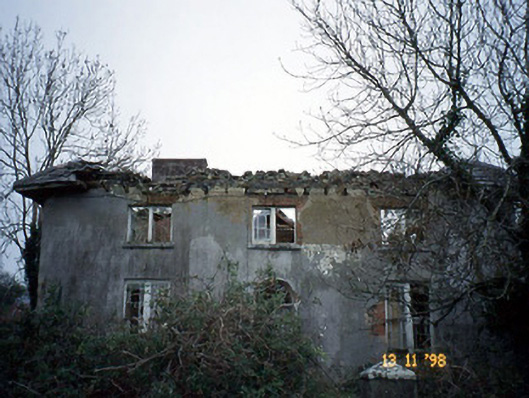 Coolardhouse · 1.5 mi
 Lartigue MonorailMuseum · 2.2 mi
 Bawn in BallydonohoeBawn · 2.2 mi
 John B. Keane GroveMemorial · 2.2 mi
 Kerry Writers' MuseumMuseum · 2.5 mi
 Bryan MacMahonMemorial · 2.5 mi
 KnockanoreMountain / peak · 5.0 mi
 Men's BeachBeach / strand · 6.8 mi