
What is recorded here
Situated on a gentle E-facing slope. A small area of burnt material (diam. 0.5m) excavated in laying a Bord Gáis pipeline. (M. Gowen fieldnotes, 1986)
Compiled by: Michael Moore
Date of upload: 22 October 2010
The monument record does not grant public access. Check the route and ask the landowner before entering private land.
- What survives
- Recorded monument
Places near here
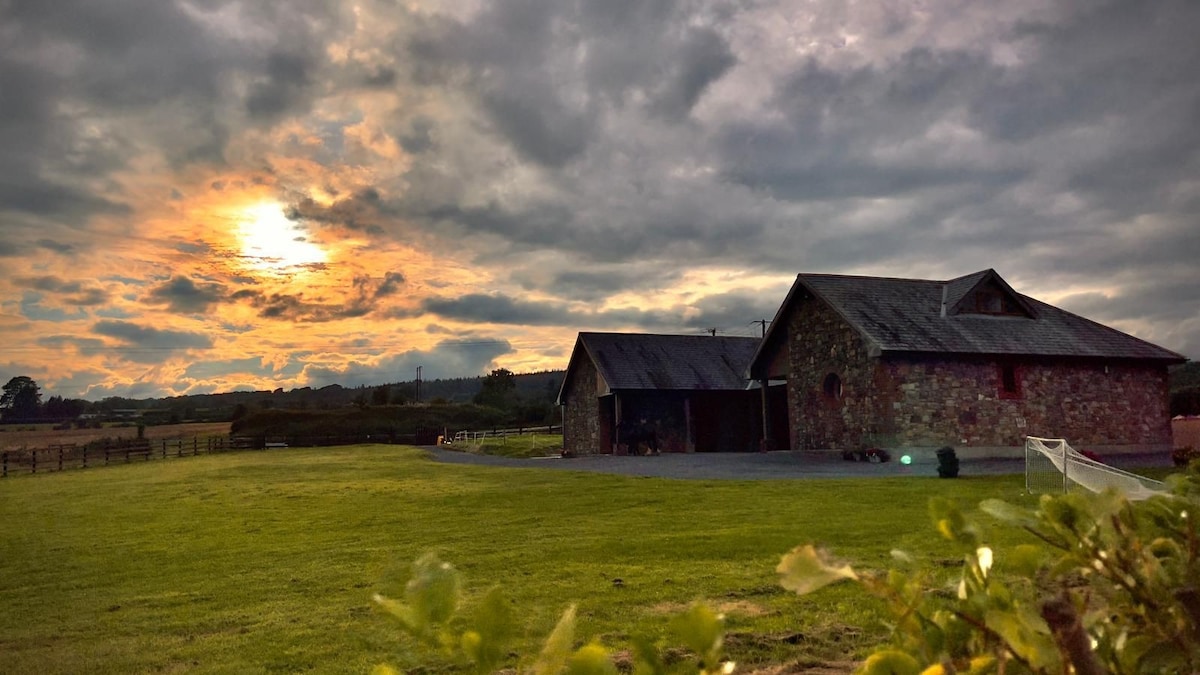 Mount Bolton WoodForest · 1078 yd
 rectory/glebe/vicarage/curate's houserectory/glebe/vicarage/curate's house · 1547 yd
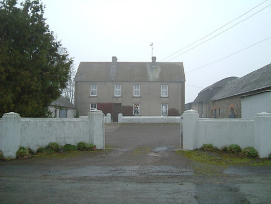 farmyard complexfarmyard complex · 1641 yd
 Fiddown IslandIslet · 1.0 mi
 Rockets Castle (in ruins)Castle, tower house · 1.2 mi
 Graveyard in FiddownGraveyard · 1.2 mi
 Tower Hill WoodWood · 1.5 mi
 Tower HillMountain / peak · 1.5 mi
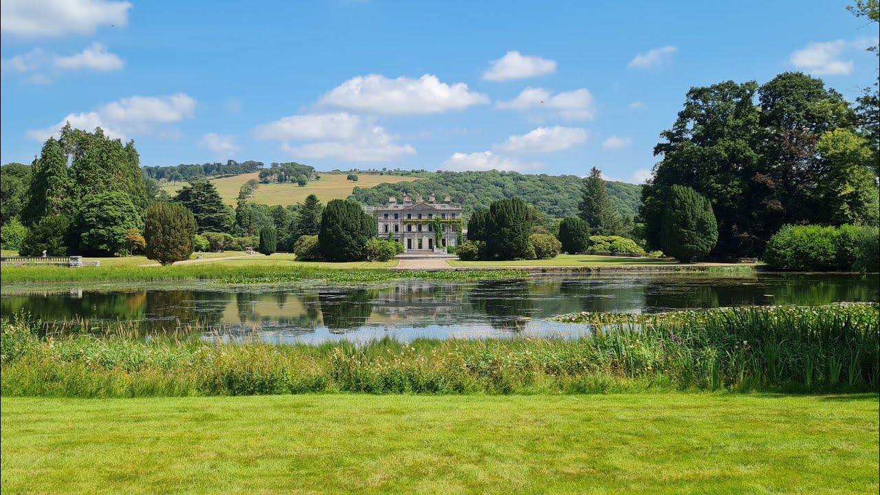 Embanked enclosureFairy fort / earthen ringfort · 1.6 mi
 Portlaw Heritage CentreMuseum · 1.6 mi
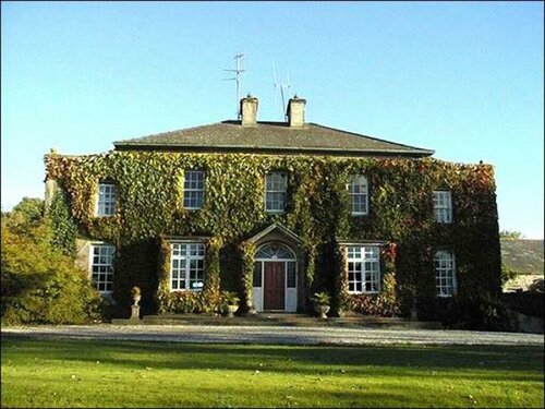 Burnt mound in BrownswoodBurnt mound · 1.8 mi
 CastleCastle, tower house · 1.9 mi
Other information
Photo: Credit not shown in the picture search · Rights wording not checked; contact us if this picture should be removed