
What is recorded here
Located on the floodplain of the River Suir. First identified in centre-line testing (02E0441) in advance of the N25 Waterford City by-pass (Murphy and O'Neill 2002, 28, figs 9, 10b) and later fully excavated (03E0587) by I. Russell (Knockhouse 7). An oval feature (dims. 0.95m x 0.75m; T 0.07m) of light brown oxidized clay is interpreted as a hearth. Artefacts including a flint scraper, medieval pottery and a clay pipe stem were found in the topsoil. The fulachta fia (WA009-032001-; WA009-032002-) are c. 160m to the NE. (Russell and Ginn 2011i)
Murphy, D. and O’Neill, T. (2002) N25 Waterford bypass. Contract 1. Centre-line testing – 02E0441. Unpublished report. Archaeological Consultancy Services.
Russell, I. and V. Ginn (2011i) Knockhouse Upper 7, Co. Waterford. in J. Eogan and E. Shee-Twohig (2011) Cois tSiúire – nine thousand years of human activity in the lower Suir valley. Archaeological excavations on the N25 Waterford city bypass, vol. 2, 25. NRA road scheme: Monograph 8, Dublin
Compiled by: Michael Moore
Date of upload: 02 May 2012
The monument record does not grant public access. Check the route and ask the landowner before entering private land.
- What survives
- Recorded monument
Places near here
 Native Woodland Trust:Grace Dieu ReserveWood · 410 yd
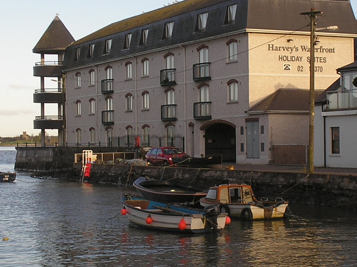 Fulacht fia in Knockhouse UpperFulacht fia · 863 yd
 Gracedieu Househouse · 1456 yd
 Native Irish Tree TrailWood · 1532 yd
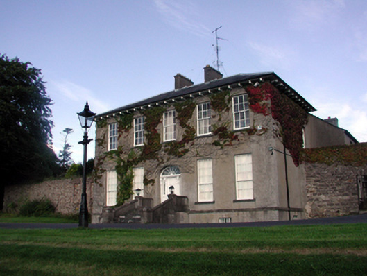 Carriganore Househouse · 1590 yd
 Field system in Knockhouse LowerField system · 1606 yd
 Granny CastleCastle, tower house · 1.2 mi
 Corluddy Castle (in Ruins)Castle, tower house · 1.3 mi
 Mount Congreve GardensHeritage attraction · 2.4 mi
 Waterford & Suir Valley RailwayHeritage attraction · 3.3 mi
 Sugar Loaf RockMountain / peak · 3.8 mi
 Ballyscanlon HillMountain / peak · 7.0 mi
Other information
Photo: Credit not shown in the picture search · Rights wording not checked; contact us if this picture should be removed