
What is recorded here
Situated on the W bank of a SE-NW stream, with the stream c. 30m distant. The parish church of Killoteran is within a small rectangular graveyard (dims. c. 45m NE-SW; c. 35m NW-SE). The nave and chancel are described as in ruins in 1615 (Anon. 1902, 110). The 19th century C of I church of St Otteran, a corruption of…
Read the whole record
From the National Monuments Service (Archaeological Survey of Ireland) record WA017-001001
Places near here
Photo credits
- National Inventory of Architectural Heritage
- Viking Ship Museum, Roskilde; photographer not stated, Viking Ship Museum
- David Hawgood / Geograph Britain and Ireland, commons.wikimedia.org
- David Dixon, Wikimedia Commons · CC BY-SA 2.0
- Maker not stated on source page, www.megalithic.co.uk
- Eric Hunt, Wikimedia Commons · CC BY 2.5
- Wendy Cutler, Wikimedia Commons · CC BY 2.0
- Maker not stated on source page, commons.wikimedia.org
- David Dixon, Geograph · CC BY-SA 2.0
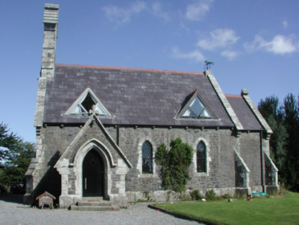 Killoteran ChurchChurch/chapel · 1 yd
Explorer Tom Killoteran Church is planning its retirement by quietly turning into a local landmark. It was designed in 1858 with…
 Viking settlement siteArchaeological place · 590 yd
Explorer Tom Woodstown nearly had a road driven over its Viking story, which would have been a spectacularly bad way to discover it.…
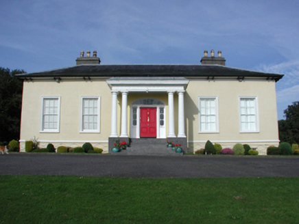 Killoteran HouseHouse · 710 yd
Explorer Tom Killoteran House in Woodstown is positioned perfectly to watch the River Suir meander by. It’s got that villa vibe with…
 Butlerstown GAA pitchGAA ground · 1260 yd
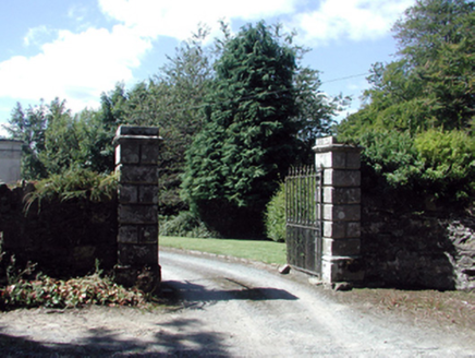 Historic buildingOfficially recorded historic building · 1278 yd
Explorer Tom Historic building in Killoteran claims it's older than the concept of time itself, which is bold for a gateway. The…
 gate lodge1288 yd
Explorer Tom Killoteran’s gate lodge is small but mighty, acting like it’s guarding a castle when it’s really just checking the mail…
 Mount Congreve GardensVisitor attraction · 1513 yd
Explorer Tom Mount Congreve Gardens in County Waterford is where the Vikings got so lost they ended up gardening instead of raiding.…
 Megalithic tomb in LicketstownMegalithic tomb · 1718 yd
Explorer Tom Megalithic tomb in Licketstown is invisible now, which is why the wind keeps picking on it like it owes money. It used…
 Sweet michelia1.2 mi
Explorer Tom Sweet michelia in County Waterford is being picked on by the wind because it smells too nice and everyone wants a…
 Sargent's magnolia1.4 mi
Explorer Tom Sargent's magnolia in County Waterford would put 'tall, leafy, and available' on its dating profile, though no one has…
 Kilmeaden CastleRuins · 1.6 mi
Explorer Tom The local sheep at Kilmeaden Castle have strong opinions about its design, particularly that it blocks their view of…
 CastleCastle, unclassified · 1.6 mi
Explorer Tom Castle in Kilmeadan has a bird that refuses to leave, even though the castle is mostly just a suggestion of a building.…
More historic places in County Waterford · All of County Waterford

What do you know about this place?Tap to add a comment or ask a question