
What is recorded here
In 2002, an archaeological excavation (Licence no. 02E0994) was carried out at 'Site 17' in advance of the proposed M4 Kinnegad-Enfield-Kilcock road development. Topsoil was stripped from an area measuring 20m by 20m. A large drain/field boundary extended east-west across the centre of the site. A trench was manually…
Read the whole record
From the National Monuments Service (Archaeological Survey of Ireland) record KD005-027
Places near here
Photo credits
- Maker not stated on source page, www.atlasobscura.com
- National Inventory of Architectural Heritage
- JP, Wikimedia Commons · CC BY-SA 2.0
- Maker not stated on source page, monumentalireland.ie
- Scaramanga731, Wikimedia Commons · CC BY-SA 4.0
- Maker not stated on source page, ph.pinterest.com
- Willow, Wikimedia Commons · CC BY 2.5
- Maker not stated on source page, ru.pinterest.com
- Maker not stated on source page, nl.pinterest.com
- Cappagh GAA; photographer not stated, www.cappaghgaa.com
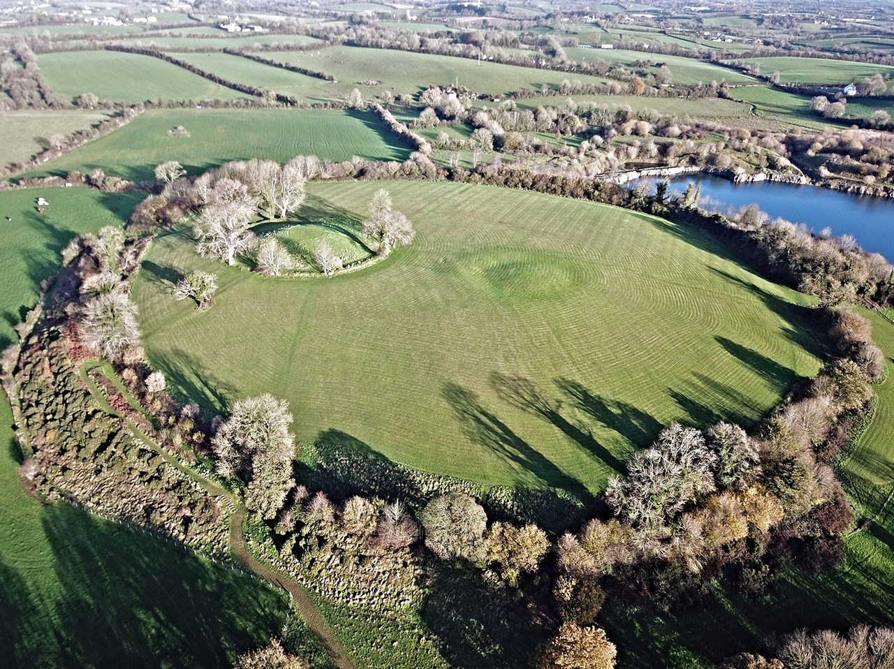 Fairy fort / earthen ringfort in PitchfordstownFairy fort / earthen ringfort · 1034 yd
Explorer Tom Fairy fort in Pitchfordstown would fail a reality show because it’s too lazy to maintain its walls. It’s just a gentle…
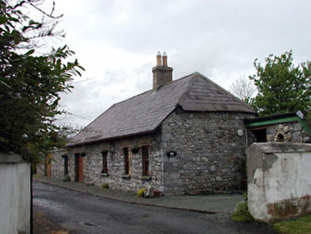 Pitchfordstown HouseGate lodge · 1351 yd
Explorer Tom Pitchfordstown House is actually just a gate lodge pretending to be important, which I respect. The rabbits think it’s…
 McLoghlin BridgeBridge · 1359 yd
Explorer Tom McLoghlin Bridge has a secret talent for misspelling its own name on plaques since 1797. It’s part of a canal group…
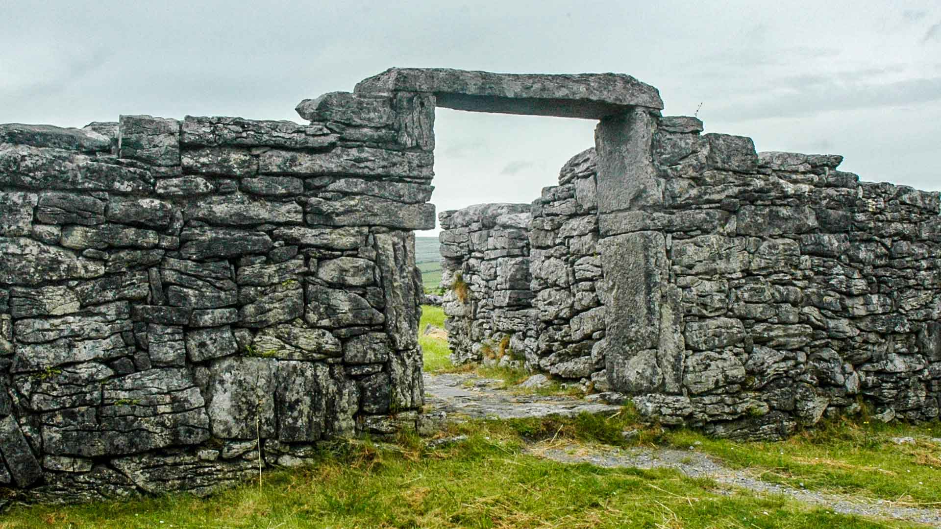 Fairy fort / earthen ringfort in Oldtown (deece Upper By., Gallow Par.)Fairy fort / earthen ringfort · 1.0 mi
Explorer Tom Fairy fort in Oldtown is deeply suspicious of the postman and his little red box. The canal runs right past it, but it…
 Allen BridgeBridge · 1.5 mi
Explorer Tom Allen Bridge in Boycetown is planning its retirement by just standing there on the Royal Canal and pretending it isn’t…
 Killeighter Holy WellMonument · 1.6 mi
Explorer Tom Killeighter Holy Well supposedly hides a treasure that turns out to be just a really sad biscuit tin from 1994. People…
 European ash1.6 mi
Explorer Tom European ash in County Kildare says if you touch it without washing your hands, you'll trip all week. The locals swear…
 Holy well in KilleighterHoly well · 1.6 mi
Explorer Tom Holy well in Killeighter is the subject of a bad poem someone wrote about it that rhymed 'headache' with 'cake,' which…
 Church (in Ruins)Church · 1.6 mi
Explorer Tom Church in Balfeaghan is sitting on a slope like it’s judging your outfit. It’s got headstones from the 1850s to now…
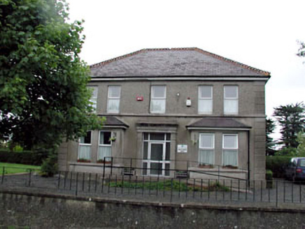 Whitestown HouseHouse · 1.7 mi
Explorer Tom Whitestown House is called 'White' but the map makers got completely lost on its location. It was a medical center, so…
 Cappagh GAA pitchGAA ground · 1.7 mi
 canal (section of)1.8 mi
Explorer Tom The Canal section here goes *glub* at night, which is definitely just fish and absolutely not a ghost. It’s been…
More archaeology and monuments in County Kildare · All of County Kildare

What do you know about this place?Tap to add a comment or ask a question