
What is recorded here
In pasture, 50m SE of a watercourse and 275m S of the townland boundary with Shanaclogh. Enclosure (LI022-073----) 50m to N. Not depicted on OSi historic maps. Identified as Site 2/38/1 and described as a hearth during groundworks for the Limerick Gas Pipeline in 1986 (Gowen 1988, 180). No surface remains visible.
Compiled by: Alison McQueen and Vera Rahilly
Date of upload: 28 August 2020
The monument record does not grant public access. Check the route and ask the landowner before entering private land.
- What survives
- Recorded monument
Places near here
 Enclosure in Ballycahane LowerEnclosure · 85 yd
 Partially indicatedFairy fort / earthen ringfort · 209 yd
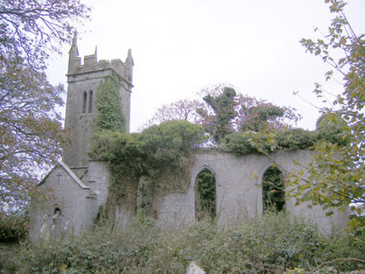 Ballycahane Churchchurch/chapel · 1607 yd
 Castle (in ruins)Castle, hall-house · 1700 yd
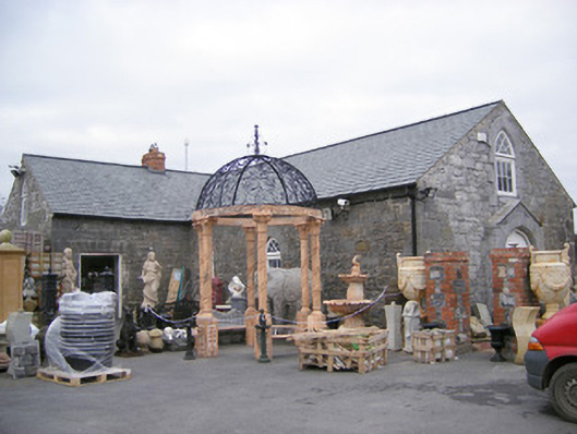 Old School Housechurch/chapel · 1701 yd
 Ballinveala Castle (in ruins)Castle, tower house · 1.1 mi
 Villiers WellSpring · 1.4 mi
 European ashEuropean ash · 1.9 mi
 Monasteranenagh AbbeyHeritage attraction · 3.3 mi
 Biodiversity in the Maigue CatchmentVisitor information · 3.7 mi
 Dysert AenghusaHeritage attraction · 4.4 mi
 European YewEuropean Yew · 4.6 mi
Other information
Photo: Credit not shown in the picture search · Rights wording not checked; contact us if this picture should be removed