What is recorded here
Hidden in flat pasture where sight fails in every direction, the fort keeps a circular shape thirty metres across. A scarped edge still rises half a metre above the grass, but dense growth now blocks the interior from human entry. The fairies may have taken the last tenant, leaving behind a ring that maps and measurements can identify but no longer contain.
In level pasture with poor views in all directions. Depicted on the 1840 0S 6-inch map as a circular shaped enclosure. The 1897 OS 25-inch map depicts a raised sub-circular shaped area (41m N-S; 43m E-W) defined by a scarp and encircled by a double line (Wth 0.3m-0.8m) similar to that depicting the surrounding field boundaries. Surveyed by the ASI in 2000 when described as a raised circular shaped area (diam. 30m) defined by a scarped edge (Wth 2m; H 0.6m) and surrounded by a post-1700 drainage ditch. A field boundary that intersected the monument at NW has been removed. The interior is densely overgrown and inaccessible as shown on Google Earth orthoimage taken 28/06/2018.
See attached sketch plan surveyed and drawn by the ASI and Google earth orthoimages
Compiled by: Martin Fitzpatrick
Date of upload: 30 July 2020
This remains an important historical record, but the official description says the monument is no longer visible or has been destroyed. The monument record does not grant public access. Check the route and ask the landowner before entering private land.
- What survives
- No visible remains or recorded as destroyed
Places near here
 Mound in Ballyregan (pubblebrien By.)Mound · 967 yd
 Villiers WellSpring · 1123 yd
 Enclosure in KilpeaconEnclosure · 1191 yd
 Maryville Housecountry house · 1269 yd
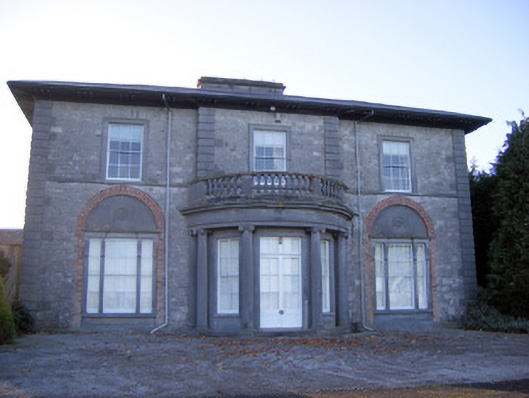 Kilpeacon Housecountry house · 1729 yd
 (Site of) Garryellen CastleCastle, unclassified · 1.1 mi
 Dotted outlineBawn · 1.1 mi
 European ashEuropean ash · 1.9 mi
 Monasteranenagh AbbeyHeritage attraction · 3.2 mi
 Biodiversity in the Maigue CatchmentVisitor information · 4.2 mi
 Dysert AenghusaHeritage attraction · 5.0 mi
 KnockfeerinaMountain / peak · 9.1 mi