
What is recorded here
In low-lying undulating pasture on slight W-facing slope 22m N of townland boundary with Newtown and 190m E of townland boundary with Skehanagh. Not depicted on the 1840 OSi 6-inch map or the 1897 OSi 25-inch map. Identified from an examination of 1:10,000 Bord Gáis Éireann aerial photographs during work on the Curraleigh–Limerick gas pipeline in 1986 (BGE AP No. 30, Site No. 022201). Visited by the ASI in 2000 and described as located atop a dry rise in an otherwise wet pasture, no surface remains visible. Faint outline of a possible enclosure visible on OSi orthophoto taken 2005-12. Not visible on Google Earth orthoimage taken 2020.
See attached Bord Gáis Éireann aerial photograph showing outline of enclosure
Compiled by: Fiona Rooney
Date of upload: 14 August 2020
A local fairy fort (ringfort/rath); wider significance not recorded.
The monument record does not grant public access. Check the route and ask the landowner before entering private land.
- What survives
- Recorded monument
Places near here
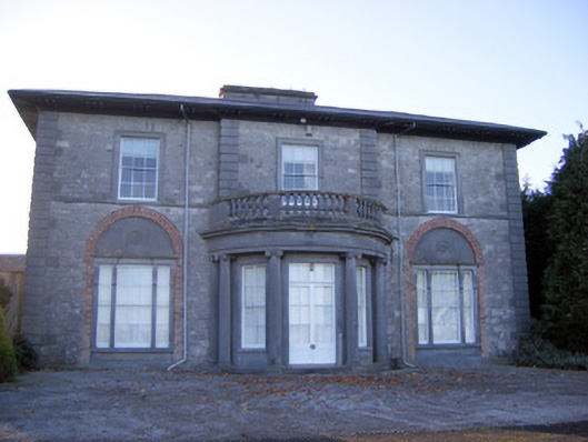 Kilpeacon Housecountry house · 680 yd
 Grave YardGraveyard · 1011 yd
 Saint Beacon's Church (Kilpeacon)church/chapel · 1020 yd
 St. Patricks WellHoly well · 1066 yd
 Villiers WellSpring · 1288 yd
 (Site of) Garryellen CastleCastle, unclassified · 1.4 mi
 Dotted outlineBawn · 1.4 mi
 Monasteranenagh AbbeyHeritage attraction · 3.7 mi
 Biodiversity in the Maigue CatchmentVisitor information · 4.4 mi
 European ashEuropean ash · 4.7 mi
 Dysert AenghusaHeritage attraction · 5.2 mi
 Kinnoor WellSpring · 6.9 mi
Other information
Photo: Credit not shown in the picture search · Rights wording not checked; contact us if this picture should be removed