
What is recorded here
In undulating rocky pasture with good views in all directions. Depicted on the 1923 OS 6-inch map as a raised sub-rectangular shaped area (7m N-S; 14m E-W). Visited by the ASI in 2000 when no visible surface trace was recorded. The monument is not visible on Google Earth orthoimage taken 28/06/2018. Of doubtful antiquity.
See attached Google earth orthoimage 28/06/2018
Compiled by: Martin Fitzpatrick
Date of upload: 30 July 2020
The monument record does not grant public access. Check the route and ask the landowner before entering private land.
- What survives
- Recorded monument
Places near here
 OutlinedEnclosure · 869 yd
 Hearth in Ballycahane LowerHearth · 892 yd
 Maryville Housecountry house · 1085 yd
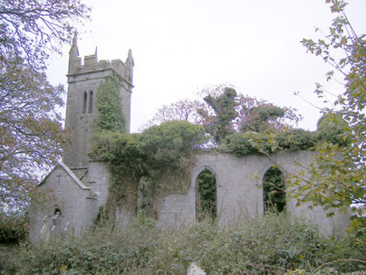 Ballycahane Churchchurch/chapel · 1189 yd
 Castle (in ruins)Castle, hall-house · 1377 yd
 Villiers WellSpring · 1.1 mi
 Ballinveala Castle (in ruins)Castle, tower house · 1.5 mi
 European ashEuropean ash · 1.7 mi
 Monasteranenagh AbbeyHeritage attraction · 3.0 mi
 Biodiversity in the Maigue CatchmentVisitor information · 3.8 mi
 Dysert AenghusaHeritage attraction · 4.5 mi
 Lebanon CedarLebanon Cedar · 5.0 mi
Other information
Photo: Credit not shown in the picture search · Rights wording not checked; contact us if this picture should be removed