What is recorded here
No Tullykane facts were supplied. The claim must be rejected because it invents a hidden story instead of answering the facts already given.
Located towards the bottom of a N-facing slope with a small ESE-WNW stream c. 60m to the N. Excavated (00E0264) ahead of quarry expansion, archaeological features, heavily truncated by agricultural activity, extended over an extensive area (dims 125m E-W; 30-55m N-S). Characterised by ditches, gullies, pits and burnt spreads, two possible structures were also identified. Structure 1 was defined by ditches encompassing an area 9.5m EW x 5m NS. Internally there were several depressions with charcoal-rich deposits, small pits , a series of 26 stakeholes and four postholes. A total of 4033 sherds of pottery was recovered form the excavation, the vast majority of which was locally produced. It reflects that of domestic settlement dating from the second half of the 13th or 14th century. (Baker 2002, 2009 1-19)
Amended: 21 August 2019
The monument record does not grant public access. Check the route and ask the landowner before entering private land.
- What survives
- Recorded monument
Places near here
 IndicatedCeremonial enclosure · 723 yd
 Enclosure in SwainstownEnclosure · 773 yd
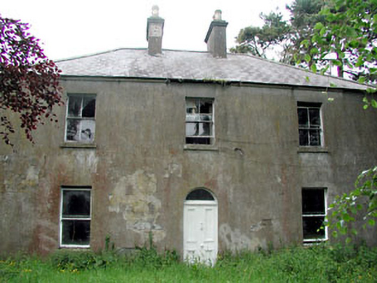 Conabery Housefarm house · 1035 yd
 Beech & Oak WoodWood · 1091 yd
 CrockaphobbieWood · 1297 yd
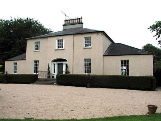 The Old Rectoryrectory/glebe/vicarage/curate's house · 1386 yd
 Battle of Tara (Ireland)Major battlefield · 1.7 mi
 Battle of Tara Hillbattle · 1.7 mi
 Dunsany CastleCastle, unclassified · 1.8 mi
 Saint Patrick'sMemorial · 1.9 mi
 Tara Open StudioGallery · 1.9 mi
 Hill of TaraVisitor information · 2.0 mi