What is recorded here
Graveyard in Templenoe (killeenasteena Par.) stands on a narrow ridge where a medieval church still occupies one edge of a forgotten circular grave field. By 1840 the burial ground had become a potato garden, pulling the dead beneath living harvests. The earth may have swallowed names, prayers and ordinary losses, yet the ridge remains marked by the shape of what it once held.
On a N-S ridge in undulating terrain. A circular enclosure (diam. c. 45m) visible as a cropmark on satellite imagery (2021 Maxar Technologies, viewed May 2021), identified and reported by Jean-Charles Caillère, incorporates a medieval church (TS068-030----) in the SW quadrant. According to the OS Letters (O'Flanagan 1930, vol. 1, 83) c. 1840, 'Its graveyard is now a potatoe garden'. This circular enclosure, defined by a fosse, may be the associated graveyard. Also visible on the satellite imagery is a possible larger outer curvilinear enclosure (TS068-030002-) which may be an ecclesiastical enclosure.
See attached photograph:
TS068-030001-_01 Satellite image (2021 Maxar Technologies, viewed May 2021)
Compiled by: Jean Farrelly
Date of upload: 5 July 2021
A circular enclosure, likely a Neolithic or early Bronze Age burial or ritual site, identified as a cropmark; its significance lies in contributing to the understanding of prehistoric land use and funerary practices in the region.
The monument record does not grant public access. Check the route and ask the landowner before entering private land.
- What survives
- Recorded monument
Places near here
 RathbaneFairy fort / earthen ringfort · 601 yd
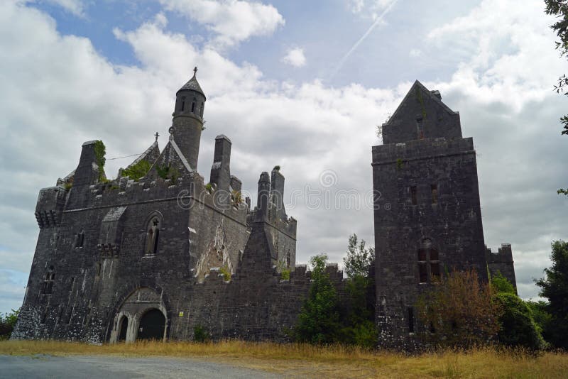 Enclosure in Templenoe (killeenasteena Par.)Enclosure · 892 yd
 Shanballyduff Househouse · 1423 yd
 Shanballyduff CastleCastle · 1462 yd
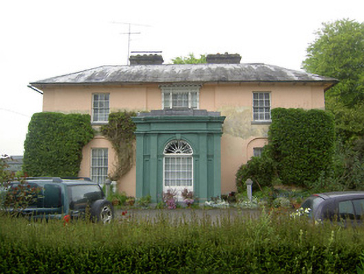 Racecourse Hallcountry house · 1496 yd
 Site of CastleCastle, unclassified · 1.6 mi
 Hore AbbeyHeritage attraction · 3.0 mi
 Athassel PrioryHeritage attraction · 3.1 mi
 Caucasian zelkovaCaucasian zelkova · 5.6 mi
 TuliptreeTuliptree · 6.9 mi
 Enclosure in Racecourse DemesneEnclosure · 1689 yd
 RathnadovCeremonial enclosure · 1697 yd