
What is recorded here
In pasture. Remains of modified circular area (dims. c. 37m N-S; c. 36m E-W) defined by remains of quarried scarp (Wth c. 6.7m; H c. 2.1m). Interior quarried and difficult to determine what is original monument and what is upcast from quarrying activities. 'Rathbane' on first ed. and latest ed. OS 6-inch maps and enclosed by field boundary.
Compiled by: Jean Farrelly
Date of upload: 26 August 2011
The monument record does not grant public access. Check the route and ask the landowner before entering private land.
- What survives
- Recorded monument
Places near here
 Shanballyduff Househouse · 822 yd
 Shanballyduff CastleCastle · 863 yd
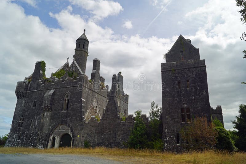 Enclosure in Templenoe (killeenasteena Par.)Enclosure · 1046 yd
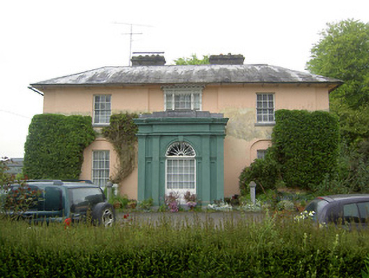 Racecourse Hallcountry house · 1383 yd
 Enclosure in Racecourse DemesneEnclosure · 1557 yd
 Site of CastleCastle, unclassified · 1.3 mi
 Hore AbbeyHeritage attraction · 2.7 mi
 Athassel PrioryHeritage attraction · 2.9 mi
 Caucasian zelkovaCaucasian zelkova · 5.8 mi
 TuliptreeTuliptree · 7.0 mi
 Dangandargan Church (in ruins)Church · 1567 yd
 Enclosure in Shanballyduff (dangandargan Par.),garraun (st. Patricksrock Par.)Enclosure · 1.1 mi
Other information
Photo: Credit not shown in the picture search · Rights wording not checked; contact us if this picture should be removed