
What is recorded here
In level area of pasture to E of old walled garden of Racecourse Hall house. No visible surface trace. Enclosure not marked on either 1840 or latest edition OS 6-inch map but was identified as a roughly circular anomaly (dims. c. 20m N-S; c. 20m E-W) on aerial photograph (GSI S.659/8 April 1974). Land generally level in area of possible monument and natural break of slope adjacent to E may form part of the curvilinear anomaly that was identified on aerial photograph. Linear depression to SE of this may further simulate a curvature. Possible natural feature, although inconclusive without proper excavation. Ringfort (TS069-039----) located 490m to NE.
Compiled by: Jean Farrelly
Date of upload: 26 August 2011
The monument record does not grant public access. Check the route and ask the landowner before entering private land.
- What survives
- Recorded monument
Places near here
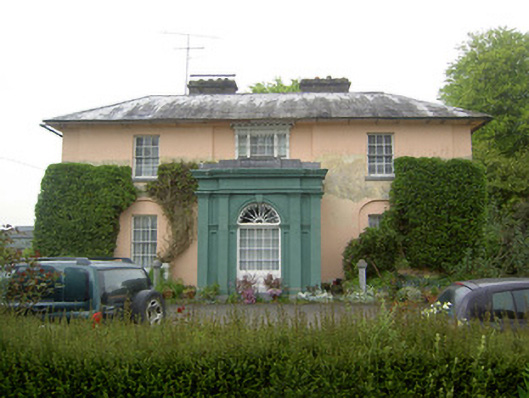 Racecourse Hallcountry house · 194 yd
 Hilltop enclosure in KnocksaintlourHilltop enclosure · 1061 yd
 RathnadovCeremonial enclosure · 1421 yd
 Shanballyduff Househouse · 1.0 mi
 Shanballyduff CastleCastle · 1.0 mi
 Site of CastleCastle, unclassified · 1.4 mi
 Hore AbbeyHeritage attraction · 2.2 mi
 Athassel PrioryHeritage attraction · 3.8 mi
 TuliptreeTuliptree · 7.9 mi
 Ballydavid WoodWood · 8.3 mi
 RathbaneFairy fort / earthen ringfort · 1557 yd
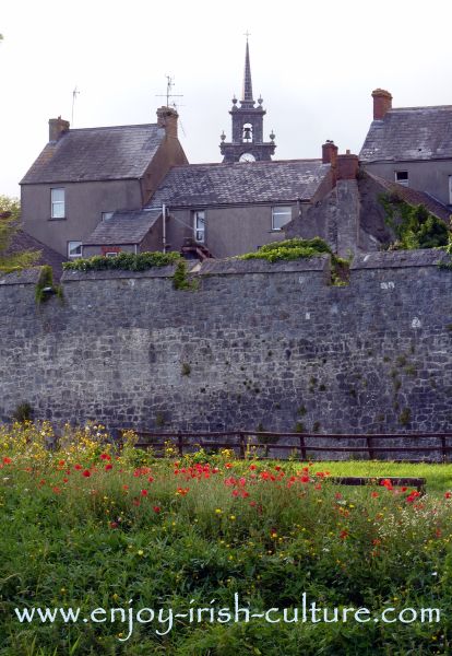 RathnadrinnaArchaeological place · 1622 yd
Other information
Photo: Credit not shown in the picture search · Rights wording not checked; contact us if this picture should be removed