
What is recorded here
In pasture, on upper contour of gentle S-facing slope. Large circular area (dims. 68m N-S; 69m E-W) defined by wide, flat-bottomed internal fosse (Wth 7.2m; D 0.1m) and external bank (Wth 7.45m; int. H 1.25m; ext. H 0.7m) of earth with stone inclusions. The external bank is visible at NW only due to thick furze cover around bank and fosse elsewhere. Breach (Wth min. 4m) at NE is partially covered by furze on either side; identified on aerial photograph (DPM 30th April 1979) as original entrance. Interior is generally level and tends slightly down slope to E; Ring-barrow (TS069-002002-) is off-centre to W. Linear scarp (long-axis c. N-S) to NE area has slight breach (Wth 1.5m) allowing access from a lower level at E to marginally higher level at W of interior. Named on latest edition OS 6-inch map as 'Rathnadov'. Enclosure (TS069-003----) c. 300m to SE. Another internal ring-barrow (TS069-002003-) has been identified in the SW quadrant, clearly visible on 3-D modelling (see https://skfb.ly/KuHP).
This is a National Monument (no. 537).
Compiled by: Jean Farrelly
Date of revised upload: 3 April 2018
The monument record does not grant public access. Check the route and ask the landowner before entering private land.
- What survives
- Recorded monument
Places near here
 Enclosure in Carron (st. John Baptist Par.)Enclosure · 412 yd
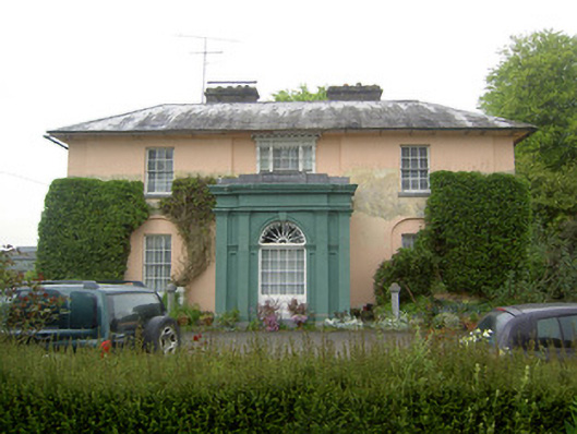 Racecourse Hallcountry house · 1342 yd
 Enclosure in Racecourse DemesneEnclosure · 1421 yd
 IndicatedHouse, 17th century · 1.0 mi
 Bawn in Carrigeen (knockgraffon Par.)Bawn · 1.0 mi
 Shanballyduff CastleCastle · 1.6 mi
 Hore AbbeyHeritage attraction · 3.0 mi
 Athassel PrioryHeritage attraction · 4.0 mi
 Caucasian zelkovaCaucasian zelkova · 6.2 mi
 Cappa WoodWood · 6.9 mi
 Rockwell Collegedemesne walls/gates/railings · 1.1 mi
 RathbaneFairy fort / earthen ringfort · 1.2 mi
Other information
Photo: Credit not shown in the picture search · Rights wording not checked; contact us if this picture should be removed