
What is recorded here
According to the Civil Survey (1654-6) 'The sd lands hath on it a Bawne & a thatcht house' which in 1640 was in the proprietorship of 'Benet Sall of Cashell Alderman Irish Papist' (Simington 1931, vol. 1, 232). In a farmyard in undulating grassland, there is a house located in what appears to be the former NE angle of the bawn (TS069-071001-). The one-storey four-bay house (wall T 0.6-0.65m), which is aligned N-S, has been heavily modernised. The thickness of its walls is consistent with the thickness of the possible bawn wall.
Compiled by: Jean Farrelly
Date of upload: 26 August 2011
The monument record does not grant public access. Check the route and ask the landowner before entering private land.
- What survives
- Recorded monument
Places near here
 Bawn in Carrigeen (knockgraffon Par.)Bawn · 18 yd
 Rockwell Collegedemesne walls/gates/railings · 590 yd
 Enclosure in Carron (st. John Baptist Par.)Enclosure · 1103 yd
 RathnadovCeremonial enclosure · 1.0 mi
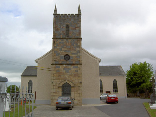 Catholic Church of Our Lady Queenchurch/chapel · 1.3 mi
 Bawn in GarranleaBawn · 1.9 mi
 Hore AbbeyHeritage attraction · 4.0 mi
 Athassel PrioryHeritage attraction · 4.5 mi
 Caucasian zelkovaCaucasian zelkova · 5.8 mi
 Slieveanard NE TopMountain / peak · 6.8 mi
 TuliptreeTuliptree · 7.3 mi
 Enclosure in Loughkent WestEnclosure · 1.2 mi
Other information
Photo: Credit not shown in the picture search · Rights wording not checked; contact us if this picture should be removed