
What is recorded here
In generally level pasture to W of 2-storey farmhouse and yard. Circular area (dims. 65m N-S; 64m E-W) defined by earth and stone bank (Wth 3.8m; int. H 0.5m; ext. H 1.2m) E-S-W-N, which has been reduced to scarp N-NE-E. Possible entrance (Wth 4m) at E and gap (Wth 6m) at SSW. Crannog, possible (TS069-072----) located c. 490m to NNE.
Compiled by: Jean Farrelly
Date of upload: 26 August 2011
A local fairy fort (ringfort/rath); wider significance not recorded.
The monument record does not grant public access. Check the route and ask the landowner before entering private land.
- What survives
- Recorded monument
Places near here
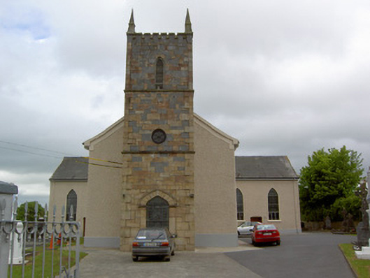 Catholic Church of Our Lady Queenchurch/chapel · 387 yd
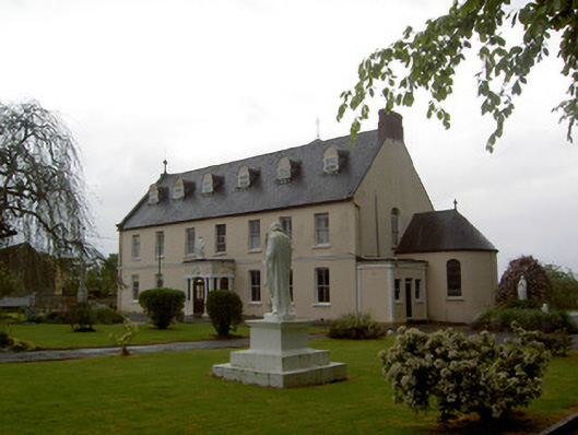 Convent of Mercyconvent/nunnery · 406 yd
 Enclosure in KnockgraffonEnclosure · 1451 yd
 Bawn in Carrigeen (knockgraffon Par.)Bawn · 1.2 mi
 Enclosure in OuteraghEnclosure · 1.5 mi
 Bawn in GarranleaBawn · 1.6 mi
 Athassel PrioryHeritage attraction · 4.7 mi
 Caher AbbeyHeritage attraction · 4.8 mi
 Caucasian zelkovaCaucasian zelkova · 4.9 mi
 Siege of Cahir Castlesiege · 5.0 mi
 Cappa WoodWood · 5.6 mi
 Slieveanard NE TopMountain / peak · 5.8 mi
Other information
Photo: Credit not shown in the picture search · Rights wording not checked; contact us if this picture should be removed