
What is recorded here
In freshly ploughed and re-seeded arable land, on upper edge of 300ft contour, land sloping downwards to W and S. No visible surface trace. Depicted on 1905 OS 6-inch map as oval area (dims. c. 35m N-S; c. 40m E-W) defined by hachures. Depicted on 1st edition OS 6-inch map as a sub-oval enclosure and clearly visible as a circular cropmark on aerial photograph (CUCAP 13 July 1966, AOZ 94 and GB89.AA.24 16 July 1989) and entrance visible in the SSE.
Compiled by: Jean Farrelly
Date of upload: 26 August 2011
A local fairy fort (ringfort/rath); wider significance not recorded.
The monument record does not grant public access. Check the route and ask the landowner before entering private land.
- What survives
- Recorded monument
Places near here
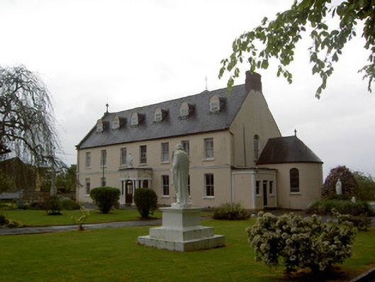 Convent of Mercyconvent/nunnery · 1437 yd
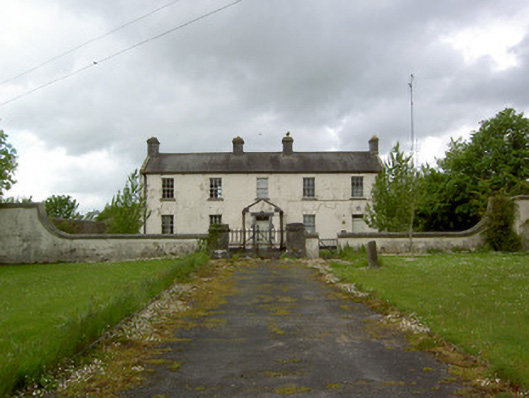 Newinn Constabulary Barrackgarda station/constabulary barracks · 1449 yd
 Enclosure in Loughkent WestEnclosure · 1451 yd
 LisheenEnclosure · 1691 yd
 Bawn in GarranleaBawn · 1.4 mi
 Outeragh Castle (in ruins)Castle, unclassified · 1.5 mi
 Caher AbbeyHeritage attraction · 4.1 mi
 Caucasian zelkovaCaucasian zelkova · 4.1 mi
 Siege of Cahir Castlesiege · 4.3 miCahir CastleHeritage attraction · 4.4 mi
 Cappa WoodWood · 4.8 mi
 Slieveanard NE TopMountain / peak · 5.0 mi
Other information
Photo: Credit not shown in the picture search · Rights wording not checked; contact us if this picture should be removed