
What is recorded here
Near crest of flat-topped ridge on SE facing slope. Main Cahir-Cashel section of Cork road runs NE-SW along top of ridge. Outeragh Church (TS075-018----) is located 200m to SW. The Civil Survey (1654-6) records William Butler, Irish Papist as being the proprietor in 1640 'of two acres on wch is a castle' at 'Owghteragh' (Simington 1931, vol.1, 236). Ruins of castle lie in small area of scrub (dims. 13m N-S; 24m E-W) with trees and other vegetation around the edge. Field under tillage. This fallow scrub area has been used to dump field clearance stones and dead wood. Six separate piles of collapsed masonry. Castle was of rubble limestone and sandstone construction, randomly coursed. Though the chunks of masonry have collapsed and are overgrown, flat faces are visible with returns, either for internal features such as embrasures, cupboards or wall returns. Wall thickness up to 1.2m.
Compiled by: Jean Farrelly
Date of upload: 26 August 2011
Outeragh Castle was built by the Butler family, likely in the 15th or 16th century, as part of their extensive network of strongholds in Munster. It is remembered for its strategic position and association with the powerful Butler earls of Ormond.
The monument record does not grant public access. Check the route and ask the landowner before entering private land.
- What survives
- Recorded monument
Places near here
 Outeragh Church (in ruins)Church · 213 yd
 Outrath Lodgerectory/glebe/vicarage/curate's house · 349 yd
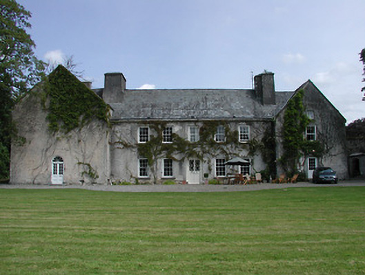 Enclosure in KnockgraffonEnclosure · 742 yd
 IndicatedEnclosure · 763 yd
 Bawn in KedrahBawn · 1750 yd
 Short Castle (in ruins)Castle, tower house · 1.1 mi
 Caher AbbeyHeritage attraction · 3.1 mi
 Siege of Cahir Castlesiege · 3.2 miCahir CastleHeritage attraction · 3.3 mi
 Caucasian zelkovaCaucasian zelkova · 4.3 mi
 European YewEuropean Yew · 4.3 mi
 Slieveanard NE TopMountain / peak · 4.8 mi
Other information
Photo: Credit not shown in the picture search · Rights wording not checked; contact us if this picture should be removed