
What is recorded here
In pasture, on gentle S-facing slope. Remains of circular area (dims. 35m N-S; 35.2m E-W) defined by scarp (Wth 3.75m; H 0.75m) N-E-SW and external fosse (Wth 7.25m; D 0.65m) N-E-SW. Causewayed entrance (Wth c. 4m) across fosse at SE. Interior slopes down gently to S with prevalent slope. Monument truncated by trackway (long-axis c. N-S) along W arc and totally levelled WNW-N. Field boundaries shown on latest edition OS 6-inch map to NW, NE and SW removed. Henge (TS069-002001-) and ring-barrow (TS069-002002-) are located c. 300m to NW and enclosure (TS069-032----) c. 330m to S.
Compiled by: Jean Farrelly
Date of upload: 26 August 2011
The monument record does not grant public access. Check the route and ask the landowner before entering private land.
- What survives
- Recorded monument
Places near here
 RathnadovCeremonial enclosure · 412 yd
 Enclosure in Carron (st. John Baptist Par.)Enclosure · 416 yd
 IndicatedHouse, 17th century · 1518 yd
 Bawn in Carrigeen (knockgraffon Par.)Bawn · 1528 yd
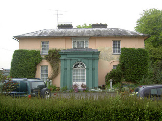 Racecourse Hallcountry house · 1727 yd
 Shanballyduff CastleCastle · 1.8 mi
 Hore AbbeyHeritage attraction · 3.2 mi
 Athassel PrioryHeritage attraction · 4.2 mi
 Caucasian zelkovaCaucasian zelkova · 6.3 mi
 Siege of Cahir Castlesiege · 7.0 mi
 TuliptreeTuliptree · 7.7 mi
 Rockwell Collegedemesne walls/gates/railings · 1.0 mi
Other information
Photo: Credit not shown in the picture search · Rights wording not checked; contact us if this picture should be removed