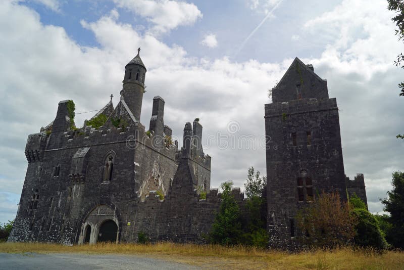
What is recorded here
In level pasture. Slight visible surface trace of levelled enclosure defined as remains of circular area (dims. c. 24m N-S; c. 26m E-W) defined by almost completely levelled bank. The hachures depicted on the 1900-05 ed. OS 6-inch map suggest that this was a quarry, or a monument that was subsequently quarried. Enclosure (TS068-027----) located c. 600m to N.
Compiled by: Jean Farrelly
Date of revised upload: 24 November 2015
The monument record does not grant public access. Check the route and ask the landowner before entering private land.
- What survives
- Recorded monument
Places near here
 RathbaneFairy fort / earthen ringfort · 1046 yd
 Dangandargan Church (in ruins)Church · 1267 yd
 Shanballyduff Househouse · 1604 yd
 Shanballyduff CastleCastle · 1612 yd
 Boytonrath Castle (in ruins)Castle, unclassified · 1.1 mi
 Enclosure in Cloghleigh (relickmurray & Athassel Par.),dangandarganEnclosure · 1.3 mi
 Athassel PrioryHeritage attraction · 2.6 mi
 Hore AbbeyHeritage attraction · 3.2 mi
 Caucasian zelkovaCaucasian zelkova · 5.2 mi
 Cappa WoodWood · 5.9 mi
 SturrakeenMountain / peak · 8.0 mi
 Laghtshanaquilla North-East TopMountain / peak · 8.6 mi
Other information
Photo: Credit not shown in the picture search · Rights wording not checked; contact us if this picture should be removed