
What is recorded here
In improved, lush pasture, on a S-facing slope. Monument may only be preserved where it is incorporated into townland boundary to SSW and WNW-sides. Earth and stone bank (ext. H of bank 1.25m max.) with whitethorn hedge on top defines SSW and WNW-sides. Break of slope (L 10-12m; long axis WNW-ESE) may correspond with the remainder of the SSW-side. Identified as a kink in an otherwise linear field boundary and as a cropmark on an aerial photograph (GSI S.660/659, 16/04/1974) which appears to form a rectangular enclosure. No visible surface trace of remainder of monument.
Compiled by: Jean Farrelly
Date of upload: 26 August 2011
The monument record does not grant public access. Check the route and ask the landowner before entering private land.
- What survives
- Recorded monument
Places near here
 Dangandargan Church (in ruins)Church · 956 yd
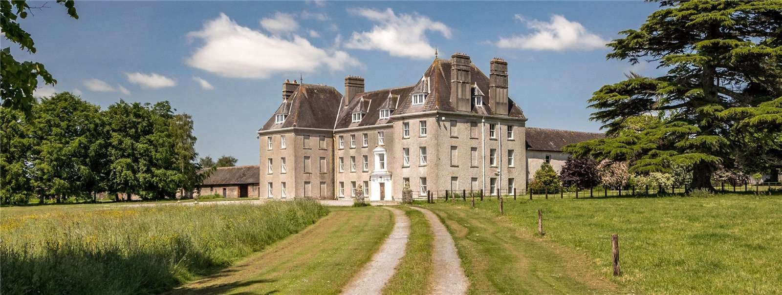 Structure in Garraun (st. Patricksrock Par.),shanballyduff (dangandargan Par.)Structure · 1040 yd
 Enclosure in Shanballyduff (dangandargan Par.),garraun (st. Patricksrock Par.)Enclosure · 1058 yd
 Shanballyduff CastleCastle · 1748 yd
 Shanballyduff Househouse · 1.0 mi
 Site of CastleCastle, unclassified · 1.2 mi
 Athassel PrioryHeritage attraction · 1.8 mi
 Hore AbbeyHeritage attraction · 2.9 mi
 European ashEuropean ash · 6.6 mi
 Dundrum Woods (Marl Bog)Forest · 6.7 mi
 SturrakeenMountain / peak · 8.1 mi
 I.R.A. 3rd. Tipperary Brigade MemorialMemorial · 8.5 mi
Other information
Photo: Credit not shown in the picture search · Rights wording not checked; contact us if this picture should be removed