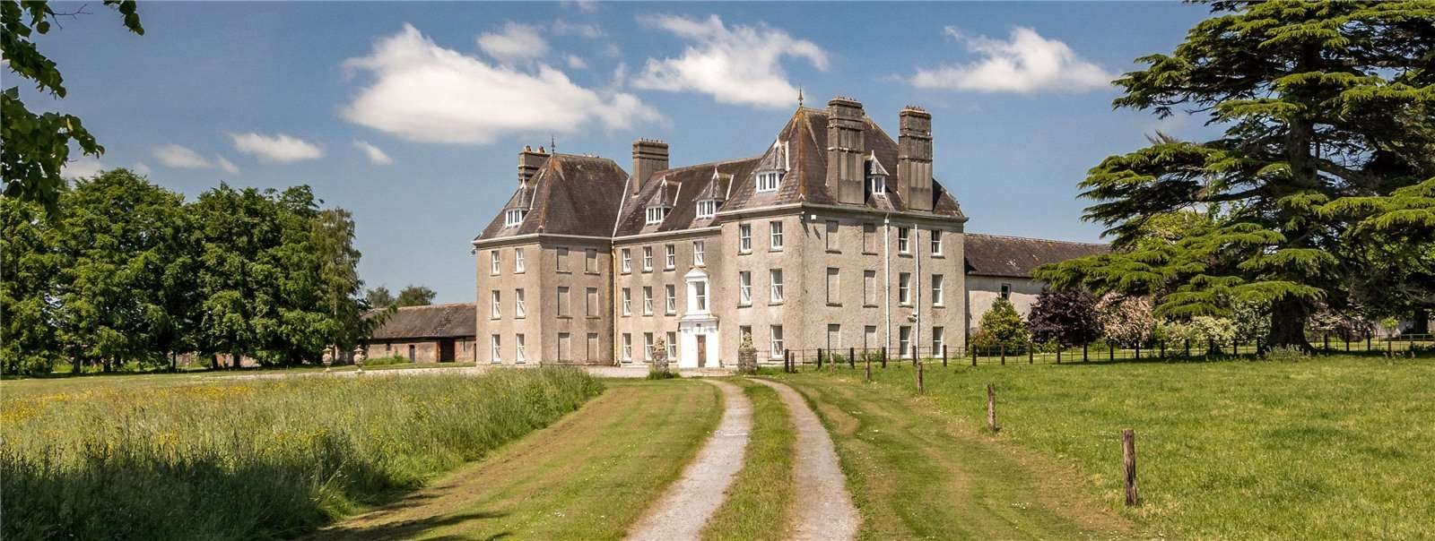
What is recorded here
In improved pasture, on a W-facing slope. Within the NE quadrant of a moated site (TS060-11102-) this rectangular area (dims. c. 20m E-W; 18m N-S) defined by a well defined scarp (Wth 3.5m; H 0.45m) N-end of W-side (L 8m) and W-end of N-side (L 8m), is levelled out at NE corner and is defined by a broad scarp (Wth 7m; H 0.75m) E ( L c. 10m), S (L c. 16m) and S-end of W-side (L 8m). Fosse (overall Wth 7.1m; basal Wth 2.6m; D 0.18m) N-end of W-side and W-end of N-side where it appears backfilled in places. An outer bank at W-end of N-side appears to be the bank (overall Wth 4.5m; Wth at top 2.5m; int. H 0.18m; ext. H 0.15m) of the moated site. Low linear rise (long axis NE-SW; L 6m) defined by a depression on either side is c. 4m to NNW. Interior is grass covered and has a very gentle W-facing slope. Concrete tank (diam. 4.75m) is within, mid-way along S-side and has been backfilled with earthen material. Depicted on latest edition OS 6-inch map as a rectangular area (dims. 50m N-S; 40m E-W) truncated by farm trackway to S and tertiary road to W.
Compiled by: Jean Farrelly
Date of upload: 26 August 2011
The monument record does not grant public access. Check the route and ask the landowner before entering private land.
- What survives
- Recorded monument
Places near here
 Enclosure in Shanballyduff (dangandargan Par.),garraun (st. Patricksrock Par.)Enclosure · 57 yd
 Enclosure in FarranamanaghEnclosure · 1004 yd
 Site of CastleCastle, unclassified · 1149 yd
 Shanballyduff CastleCastle · 1224 yd
 Shanballyduff Househouse · 1279 yd
 Dangandargan Church (in ruins)Church · 1475 yd
 Athassel PrioryHeritage attraction · 2.3 mi
 Hore AbbeyHeritage attraction · 2.3 mi
 Black mulberryBlack mulberry · 2.5 mi
 The Rock Of CashelVisitor information · 2.6 mi
 European ashEuropean ash · 7.0 mi
 Enclosure in Cloghleigh (relickmurray & Athassel Par.),dangandarganEnclosure · 1040 yd
Other information
Photo: Credit not shown in the picture search · Rights wording not checked; contact us if this picture should be removed