DDiscover AloneMapAbout

Graveyard in Cloonmacduff

Graveyard

What is recorded here

Within a possible ecclesiastical enclosure (SL020-21002-). O'Rorke (1878, 98) states that the interior of the enclosure was used as a burial ground up to the end of the 18th century and that 'a row of brick coffins or sarcophagi, of uniform size, such as are often found in the cemeteries of the larger monasteries, was…

Read the whole record
Within a possible ecclesiastical enclosure (SL020-21002-). O'Rorke (1878, 98) states that the interior of the enclosure was used as a burial ground up to the end of the 18th century and that 'a row of brick coffins or sarcophagi, of uniform size, such as are often found in the cemeteries of the larger monasteries, was discovered some years since by labourers who were making drains in the place'. No visible traces of the graveyard, or the possible church (SL020-210001-) associated with it, are evident. Following a storm in January 2015, a large beech tree fell at the location marked on the 1913 OS 6-inch map as 'Kilederdaowen', believed to be the site of a graveyard (SL020-210003-) and a possible ecclesiastical enclosure (SL020-210002-). Part of a human skeleton was brought up encased in the soil adhering to the mass of roots. A rescue excavation (Licence no. 15E0242) was carried out on 14th-16th May 2015 by Dr. Marion Dowd (IT Sligo) on behalf of the National Monuments Service. Bones were retrieved from the exposed root system and from the base of the hole created by the felled tree. The bones derived from one adult individual, a male aged between 17-20 years. The body was in an extended supine position, orientated east-west, with legs to the east and head to the west. Hand bones were recovered in the pelvic region indicating that the hands were originally either by the side or were crossed on the pelvis. Cut marks on the hand bones and ribs revealed that prior to his death the young man suffered violent injuries inflicted by a sharp bladed implement, possibly a knife or sword. Radiocarbon analysis of a bone sample indicates that he died sometime between the early 11th and early 13th century (calibrated 1028-1206 AD - 2 sigma). No trace of a grave cut was apparent and no artefacts were recovered. There were no indications of other burials. (Unpublished final excavation report submitted to NMS by Dr. Marion Dowd, October 2015; Dowd and Lynch 2016). Date of revised upload: 3 February 2016

From the National Monuments Service (Archaeological Survey of Ireland) record SL020-210003

This remains an important historical record, but the official description says the monument is no longer visible or has been destroyed. The monument record does not grant public access. Check the route and ask the landowner before entering private land.

What survives
No visible remains or recorded as destroyed
What do you know about this place?Tap to add a comment or ask a question

What you write will be public.

Places near here

Photo credits
  • National Inventory of Architectural Heritage
  • WI resident, Wikimedia Commons · CC BY-SA 4.0
  • Willow, Wikimedia Commons · CC BY 2.5
  • GTD Aquitaine, Wikimedia Commons · Public domain
  • Zxcode / Wikimedia Commons, commons.wikimedia.org
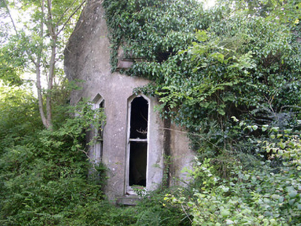
Markree CastleGate lodge · 165 yd

Explorer Tom The Markree Castle gate lodge in Cloonmacduff is totally overgrown, looking like it’s been swallowed by the undergrowth…
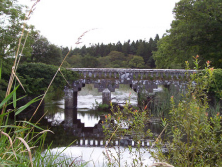
bridge392 yd

Explorer Tom Bridge in Cloonmacduff has a curse that only affects people who don’t wave back when it splashes water at them, which…
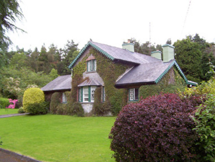
Deerpark LodgeGate lodge · 436 yd

Explorer Tom Deerpark Lodge gate lodge is constantly being gossiped about by local seagulls who say it looks better than their…
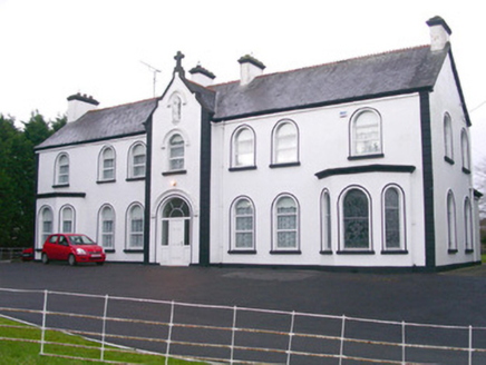
Convent of MercyConvent/nunnery · 961 yd

Explorer Tom Convent of Mercy has a front elevation that tries way too hard to impress everyone with its bay windows and moulded…
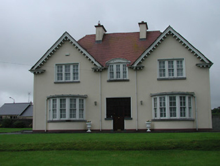
presbytery/parochial/curate's house1014 yd

Explorer Tom Presbytery in Collooney is a parochial house with bow windows that see everything going on in town. After a few pints…
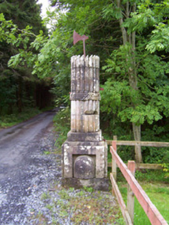
Beehive LodgeGates/railings/walls · 1021 yd

Explorer Tom Beehive Lodge at Union is a folly with gate piers that look like they’re plotting something. The beehives represent…
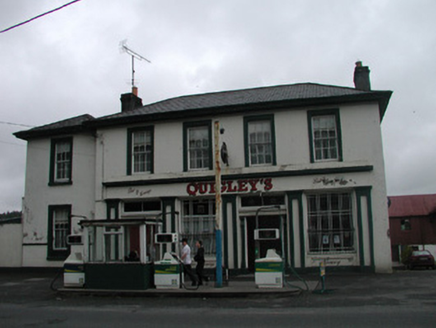
Quigley'sPublic house · 1025 yd

Explorer Tom Quigley's pub in Rinn has a legend about a hidden tunnel to the next town, but the only thing really hidden is where…

Catholic Church of the AssumptionChurch/chapel · 1049 yd

Explorer Tom Catholic Church of the Assumption in Collooney would post selfies on social media with filters that make its stained…

European ash1059 yd

Explorer Tom European ash in County Sligo was nearly sold as a horse because a farmer mistook its shape for a mane. It’s still…

Battlefield in Carricknagat (leyny By.),rinn (leyny By.),bleachgreen,collooney,ardcottenBattlefield · 1197 yd

Explorer Tom Battlefield in Carricknagat survived a massive storm by just staying put, which is impressive for a spot with such a…
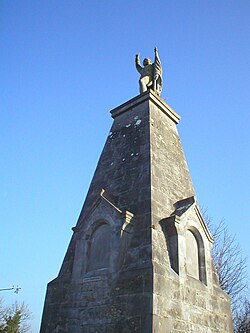
Battle of CollooneyBattle · 1206 yd

Explorer Tom The Battle of Collooney in County Sligo took about four cups of tea to build up the energy needed for the fighting, and…

Owenmore Gaels GAA pitchGAA ground · 1579 yd

More memorials and graveyards in County Sligo · All of County Sligo

Add to this placeAdd a picture Add a detailed tip Add a story

Explore the map1,095,414 places to discover

Next place · or swipeMarkree Castle