
What is recorded here
In low-lying pasture, at the W foot of a low steep-sided ridge. According to O'Rorke (1878, 97), 'the great solitary stone near the northern end of the avenue, through Cloonmucduff, marks the spot near which it [the church] stood'. The stone mentioned by O'Rorke is named 'Cromlech' on the 1913 OS 6-inch map and consists of a boulder resting on two smaller stones; it is a natural feature according to Ó Nualláin (1989, 97, no. 17). No feature consistent with a church is evident in the vicinity of the stone. A possible ecclesiastical enclosure (SL020-210002-) and graveyard (SL020-21003-) are associated with this site.
The above description is derived from the published 'Archaeological Inventory of County Sligo' compiled by Ursula Egan, Elizabeth Byrne, Mary Sleeman with Sheila Ronan and Connie Murphy (Dublin Stationery Office, 2005).
Date of upload: 18 January 2008
The monument record does not grant public access. Check the route and ask the landowner before entering private land.
- What survives
- Recorded monument
Places near here
 Ecclesiastical enclosure in CloonmacduffEcclesiastical enclosure · 20 yd
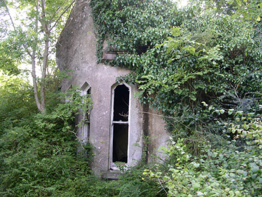 Markree Castlegate lodge · 168 yd
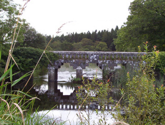 bridgebridge · 391 yd
 RathrippinFairy fort / earthen ringfort · 599 yd
 European ashEuropean ash · 1062 yd
 Teeling MonumentMemorial · 1196 yd
 Battle of Collooneybattle · 1205 yd
 CastleCastle, motte and bailey · 1335 yd
 Union RockForest · 1746 yd
 BunreecoillMountain / peak · 2.0 mi
 Castle (Site of)Castle, unclassified · 2.0 mi
 SlievewardMountain / peak · 2.3 mi
Other information
Photo: Credit not shown in the picture search · Rights wording not checked; contact us if this picture should be removed