
What is recorded here
Prominently sited on top of a hill in undulating pasture with excellent views in all directions. A substantially raised circular area (31.2m N-S; 33.5m E-W) defined by two earthen banks and an intervening fosse. The inner bank (Wth 5-6m; int. 0.6m; ext. H 2m), evident E-N, is high externally with a slight internal lip. The interior is defined by a scarp elsewhere. The shallow intervening fosse (Wth 3m) is evident all round, marked by long grass. The outer bank can only be traced as a slight rise SW-NW. A gently ramped causeway (Wth 4.5m) across the fosse at ENE, corresponding with a slumped section of the bank, is the most likely the location of the entrance. The interior is slightly higher at the centre with a slight slope down to NE and E. Within it are three depressions or pits (SL026-027002-; SL026-027003-; SL026-027004-), all obscured by long grass, probably the three 'caves' recorded by O'Rorke ([1889], vol. 2, 458) in 'Rathrippon, near Collooney'.
The above description is derived from the published 'Archaeological Inventory of County Sligo' compiled by Ursula Egan, Elizabeth Byrne, Mary Sleeman with Sheila Ronan and Connie Murphy (Dublin Stationery Office, 2005).
Date of upload: 18 January 2008
A local fairy fort (ringfort/rath); wider significance not recorded.
The monument record does not grant public access. Check the route and ask the landowner before entering private land.
- What survives
- Recorded monument
Places near here
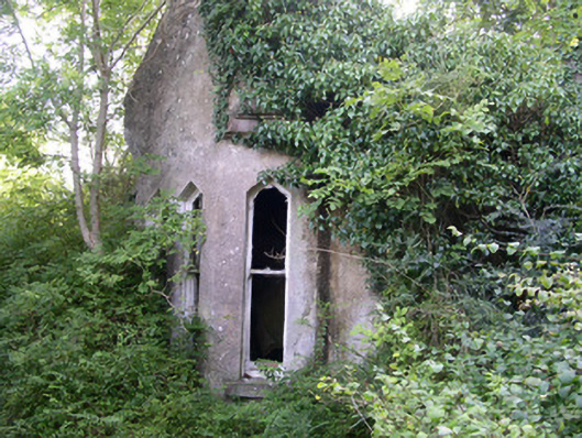 Markree Castlegate lodge · 467 yd
 Ecclesiastical enclosure in CloonmacduffEcclesiastical enclosure · 596 yd
 Kilederdaowen (Site of)Church · 599 yd
 European ashEuropean ash · 698 yd
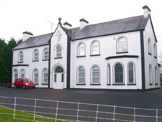 Convent of Mercyconvent/nunnery · 712 yd
 Teeling MonumentMemorial · 1334 yd
 CastleCastle, motte and bailey · 1345 yd
 Battle of Collooneybattle · 1357 yd
 Field MapleField Maple · 1.0 mi
 Castle (Site of)Castle, unclassified · 1.7 mi
 BunreecoillMountain / peak · 2.0 mi
 SlievewardMountain / peak · 2.3 mi
Other information
Photo: Credit not shown in the picture search · Rights wording not checked; contact us if this picture should be removed