What is recorded here
Reference to a graveslab dated to 1721 in the graveyard (OF010-004003-) on top of Croghan Hill.
The above description is derived from the published 'Archaeological Inventory of County Offaly' (Dublin: Stationery Office, 1997). In certain instances the entries have been revised and updated in the light of recent research.
Date of upload: 23 May 2011
The monument record does not grant public access. Check the route and ask the landowner before entering private land.
- What survives
- Recorded monument
Places near here
 Grave YardGraveyard · 23 yd
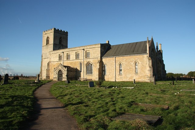 Site of Bp. MacCailles ChurchChurch · 28 yd
 Croghan HillMountain / peak · 192 yd
 Croghan Hill WalkWalking route · 355 yd
 Finnrenashark Holy WellSpring · 673 yd
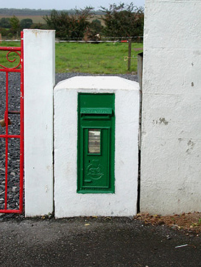 post boxpost box · 708 yd
 The Togher of CroghanRoad, class 1 togher · 1127 yd
 OConor Falys or Croghan Castle (in ruins)House, fortified house · 1351 yd
 CastleCastle, unclassified · 1.7 mi
 Clonin EarthworksMountain / peak · 2.7 mi
 Holy PlantationForest · 2.7 mi
 Victoria PlantationWood · 2.8 mi