
What is recorded here
Roughly rectangular-shaped graveyard situated on the east side of Croghan Hill just below the summit. Burial mound (OF010-004001-) on summit of Croghan Hill located 175m to the W. Interior of graveyard slopes downward on the E side. It is no longer used for burials and there is no surface evidence of the church (OF010-004002-) marked on the 1838 ed. OS 6-inch map as Bishop 'Mac Caille's Church'. On this map the church building is shown located on the inside of the NW corner of the graveyard wall. According to the 1934 National Schools Survey of Holy Wells this graveyard wall was built in the 1860s (National Folklore Dept. UCD, NFC-468, 135). During the digging of the foundations for this graveyard wall the mason employed came across the foundations of a building which he believed to be the remains of Bishop Mac Caille's Church (NFC 468, 135).
Many of the headstones in the garveyard are illegible due to weathering as the graveyard is in a very exposed location. The gravestones are positioned in a haphazard manner and the graveyard itself is badly overgrown. However locals informed us that when they were digging graves in the centre of the graveyard they came across the foundations of a building which may have been the church.
The above description is derived from the published 'Archaeological Inventory of County Offaly' (Dublin: Stationery Office, 1997). In certain instances the entries have been revised and updated in the light of recent research.
Compiled by: Caimin O'Brien
Date of upload/revision: 18 December 2013
A roughly rectangular-shaped graveyard, likely medieval in date, associated with a burial mound on Croghan Hill; its location suggests a possible link to a broader ritual or funerary landscape in the area.
The monument record does not grant public access. Check the route and ask the landowner before entering private land.
- What survives
- Recorded monument
Places near here
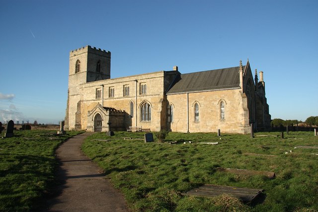 Site of Bp. MacCailles ChurchChurch · 38 yd
 Croghan HillMountain / peak · 214 yd
 Croghan Hill WalkWalking route · 368 yd
 Glenmore Holy WellsHoly well · 490 yd
 Finnrenashark Holy WellSpring · 690 yd
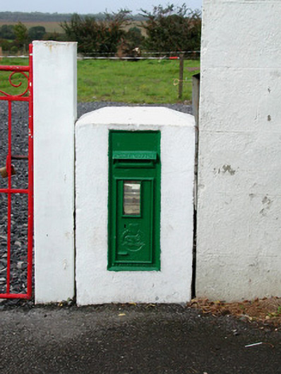 post boxpost box · 719 yd
 The Togher of CroghanRoad, class 1 togher · 1148 yd
 OConor Falys or Croghan Castle (in ruins)House, fortified house · 1374 yd
 CastleCastle, unclassified · 1.7 mi
 Clonin EarthworksMountain / peak · 2.7 mi
 Holy PlantationForest · 2.7 mi
 Victoria PlantationWood · 2.8 mi
Other information
Photo: Credit not shown in the picture search · Rights wording not checked; contact us if this picture should be removed