What is recorded here
In gently undulating pastureland. Marked on the OS 6-inch maps as an unenclosed circular area (diam. < 10m), this children's burial ground is defined by a poorly preserved unenclosed subrectangular platform (L 6.2m; Wth 5.3m). Some 3m to its W a degraded scarp may have formed its original limits. The interior is filled with loose stones, possibly displaced grave-markers.
Compiled by: Galway Archaeological Survey, UCG
Date of upload: 29 August 2019
Children's burial ground, likely medieval in date, significant as a rare example of a dedicated site for infant or child burials in the landscape. Its simple subrectangular platform suggests a local or community-based funerary tradition.
The monument record does not grant public access. Check the route and ask the landowner before entering private land.
- What survives
- Recorded monument
Places near here
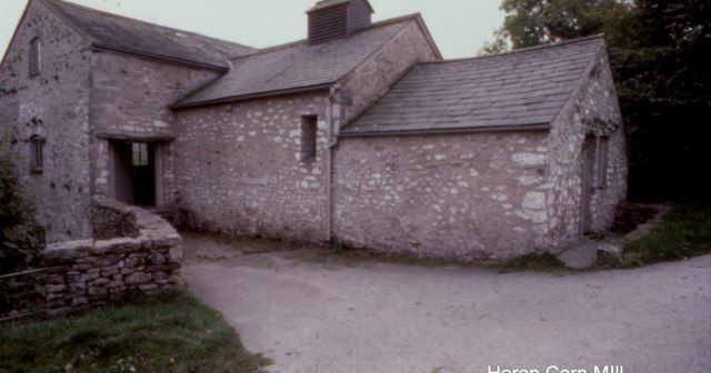 Corn MillMill, corn · 672 yd
 Font in Kiltullagh NorthFont · 690 yd
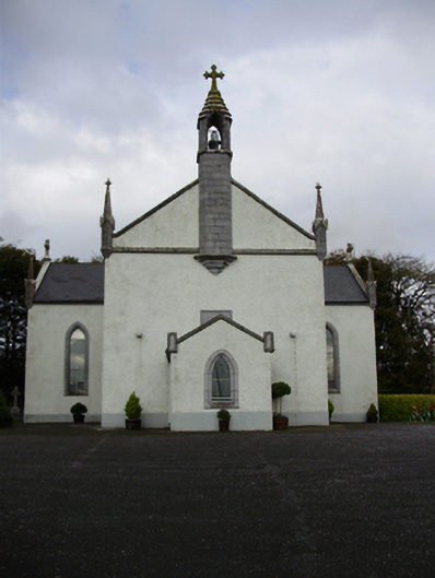 Catholic Church of Saint Peter and Saint Paulchurch/chapel · 703 yd
 Field system in ClogharevaunField system · 1710 yd
 Castle (in ruins)Castle, tower house · 1.4 mi
 MoteCastle, motte and bailey · 1.9 mi
 Moyard WoodWood · 3.3 mi
 Turoe StoneHeritage attraction · 3.6 mi
 Athenry AbbeyHeritage attraction · 4.7 mi
 Horse-chestnutHorse-chestnut · 4.9 mi
 First Battle of Athenrybattle · 5.1 mi
 Barrack IslandIslet · 6.4 mi