What is recorded here
Knockatogher holds a faded ringfort where a three-metre earthen bank still circles level grassland. The outer ditch has softened into a nettle-filled hollow, but the subcircular shape remains large enough to stop a cart or contain a small household. People may have lived there, fled there or simply marked the land with a boundary visible from a distance.
In level grassland. Poorly preserved subcircular rath (40m N-S; 36m E-W) defined by an earthen bank (Wth 3m; int. H 0.4m; ext. H 0.8m) and external fosse; the latter survives as a slight nettle-filled hollow from S to W.
Compiled by: Galway Archaeological Survey, UCG
Date of upload: 10 January 2018
The monument record does not grant public access. Check the route and ask the landowner before entering private land.
- What survives
- Recorded monument
Places near here
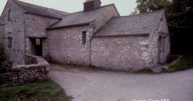 Corn MillMill, corn · 604 yd
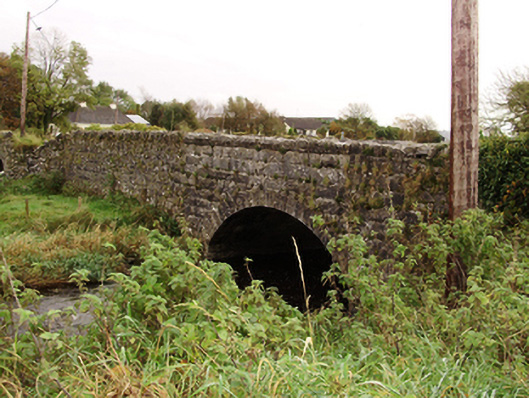 Kiltullagh Bridgebridge · 881 yd
 Font in Kiltullagh NorthFont · 1243 yd
 Field system in ClogharevaunField system · 1488 yd
 Castle (in ruins)Castle, tower house · 1.5 mi
 MoteCastle, motte and bailey · 2.2 mi
 Turoe StoneHeritage attraction · 3.3 mi
 Moyard WoodWood · 3.6 mi
 Athenry AbbeyHeritage attraction · 5.0 mi
 Barrack IslandIslet · 6.2 mi
 Middle IslandIslet · 6.2 mi
 Menlough IRAMemorial · 10.0 mi