
What is recorded here
On a gentle rise in pastureland overlooking a bend in the Clogharevaun River to the E. This field system was located to the SE and S of a tower house (GA097-084001-) and bawn (GA097-084003-). It comprised three rectangular fields and traces of two others that were defined by grass-covered earthen banks (Wth 1-2.5m; H 0.7m max.). The largest field (14 hectares) lay alongside and to the S of the S wall of the bawn. Two smaller fields adjoined it to the SE. About 20m to the NE of these traces of the two other fields were visible (Cody 1989, 361, Fig. 22). Cody (ibid.) suggested that the field system was most likely associated with the occupancy of the tower house. In September 1995 land reclamation had removed all traces of the field system (Connolly 1995, 7).
Compiled by: Olive Alcock
Date of upload: 5 September 2018
This monument is subject to a preservation order made under the National Monuments Acts 1930 to 2014 (PO no. 2/1995).
The monument record does not grant public access. Check the route and ask the landowner before entering private land.
- What survives
- Recorded monument
Places near here
 Clogharevaun Bridgebridge · 167 yd
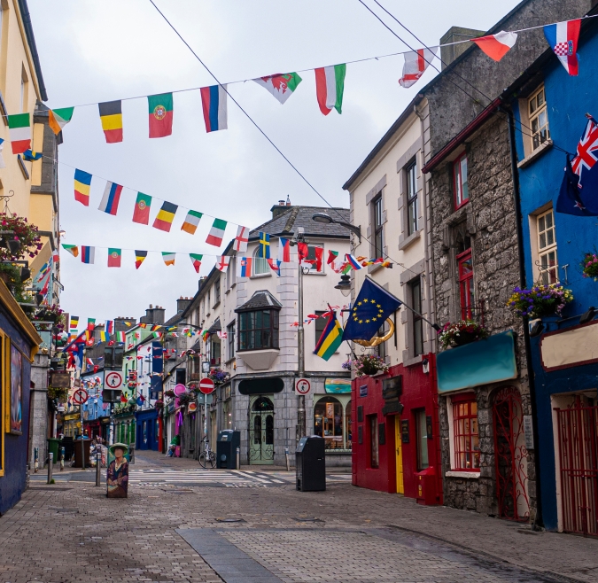 IndicatedHouse, 18th/19th century · 199 yd
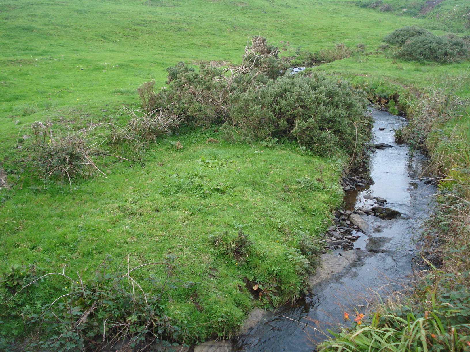 Field system in Carrowkeel (athenry By.)Field system · 836 yd
 Man-made underground passage in Carrowroe North (athenry By.)Man-made underground passage · 840 yd
 Castle (in ruins)Castle, tower house · 1711 yd
 Badhbunmore Castle (in ruins)Castle, unclassified · 1.9 mi
 Turoe StoneHeritage attraction · 2.9 mi
 Moyard WoodWood · 3.4 mi
 Athenry AbbeyHeritage attraction · 5.3 mi
 Barrack IslandIslet · 5.4 mi
 Middle IslandIslet · 5.5 mi
 First Battle of Athenrybattle · 5.8 mi
Other information
Photo: Credit not shown in the picture search · Rights wording not checked; contact us if this picture should be removed