What is recorded here
On a rise in gently undulating grassland. Circular rath (diam. 33m), in fair condition, defined by two banks and an intervening fosse. The fosse and outer bank survive from E through S to NNE. There is a causewayed entrance gap (Wth 3m) at SE. Field walls cut through the monument at E and W. Two hollows in the N sector of the interior may mark the site of a possible Man-made underground passage (GA097-108001-).
Compiled by: Galway Archaeological Survey, UCG
Date of upload: 5 January 2018
A local fairy fort (ringfort/rath); wider significance not recorded.
The monument record does not grant public access. Check the route and ask the landowner before entering private land.
- What survives
- Recorded monument
Places near here
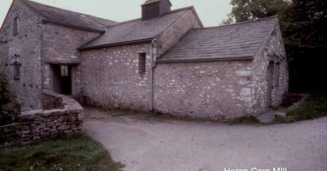 Corn MillMill, corn · 791 yd
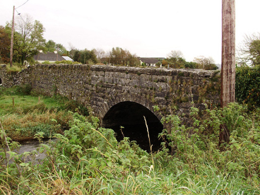 Kiltullagh Bridgebridge · 833 yd
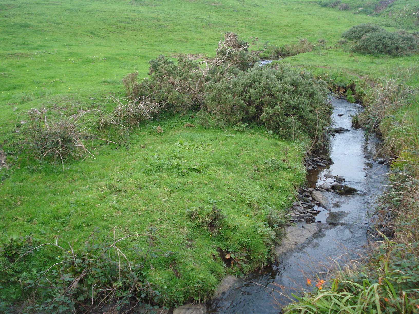 Field system in Carrowkeel (athenry By.)Field system · 976 yd
 Field system in ClogharevaunField system · 1041 yd
 Castle (in ruins)Castle, tower house · 1.5 mi
 MoteCastle, motte and bailey · 2.3 mi
 Turoe StoneHeritage attraction · 2.9 mi
 Moyard WoodWood · 3.8 mi
 Barrack IslandIslet · 5.8 mi
 Middle IslandIslet · 5.8 mi
 Kilconnell AbbeyHeritage attraction · 9.9 mi
 Kilcornan ForestWood · 10 mi