What is recorded here
Kiltullagh North held a twenty-metre circular fort on a west-facing slope, visible enough for surveyors to mark in 1838 but erased thereafter. Only a nettle-choked rubble mound remains where people once lived, loved, argued and forgot the shape of their own walls. The land keeps the circle hidden, not lost.
On the W-facing slope of a hillock in rolling grassland. Marked on the 1838 edition of the OS 6-inch map as a circular enclosure (diam. c. 20m). Apart from an irregular nettle-covered mound of field-clearance rubble, no visible surface trace survives.
Compiled by: Galway Archaeological Survey, UCG
Date of upload: 26 July 2019
The monument record does not grant public access. Check the route and ask the landowner before entering private land.
- What survives
- Recorded monument
Places near here
 Font in Kiltullagh NorthFont · 394 yd
 Kiltullagh Housecountry house · 493 yd
 IndicatedHoly well · 621 yd
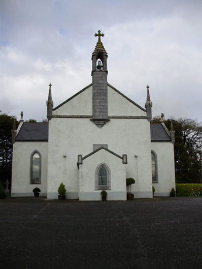 Catholic Church of Saint Peter and Saint Paulchurch/chapel · 817 yd
 Castle (in ruins)Castle, tower house · 1.3 mi
 MoteCastle, motte and bailey · 1.7 mi
 Moyard WoodWood · 3.0 mi
 Turoe StoneHeritage attraction · 3.9 mi
 Athenry AbbeyHeritage attraction · 4.4 mi
 Horse-chestnutHorse-chestnut · 4.6 mi
 First Battle of Athenrybattle · 4.8 mi
 Barrack IslandIslet · 6.5 mi