
What is recorded here
Some 20m NE of a rath (GA085-059----), E of a stream, in rough pastureland. This well consists of a dry partially rubble-filled hollow enclosed by a poorly preserved D-shaped mortared stone wall (3.1m E-W; 2.3m N-S; H 1.5m max; Wth 0.6m). A gap (Wth 0.9m) at the N may be original. On a block (c. 0.3m by 0.3m) set in the wall at E an inscription dedicated to St John and dated 1714 is visible. On inspection the area was overgrown and piles of large stones had been dumped about the site. Current aerial imagery (OSi Digitalglobe (2011-2013) indicates that a number of trees are growing here now and forestry plantations lie to the NE and SW. (Cody 1989, 333-5, no. 149).
Compiled by: Galway Archaeological Survey, UCG
Date of Upload: 12 April 2023
The monument record does not grant public access. Check the route and ask the landowner before entering private land.
- What survives
- Recorded monument
Places near here
 Kiltullagh Housecountry house · 821 yd
 Font in Kiltullagh NorthFont · 837 yd
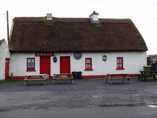 B. Wardhouse · 1320 yd
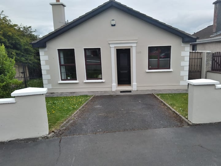 Enclosure in BruskEnclosure · 1459 yd
 Castle (in ruins)Castle, tower house · 1.4 mi
 MoteCastle, motte and bailey · 1.6 mi
 Moyard WoodWood · 2.8 mi
 Athenry AbbeyHeritage attraction · 4.0 mi
 Athenry CastleHeritage attraction · 4.0 mi
 Horse-chestnutHorse-chestnut · 4.3 mi
 First Battle of Athenrybattle · 4.4 mi
 Barrack IslandIslet · 6.8 mi
Other information
Photo: Credit not shown in the picture search · Rights wording not checked; contact us if this picture should be removed