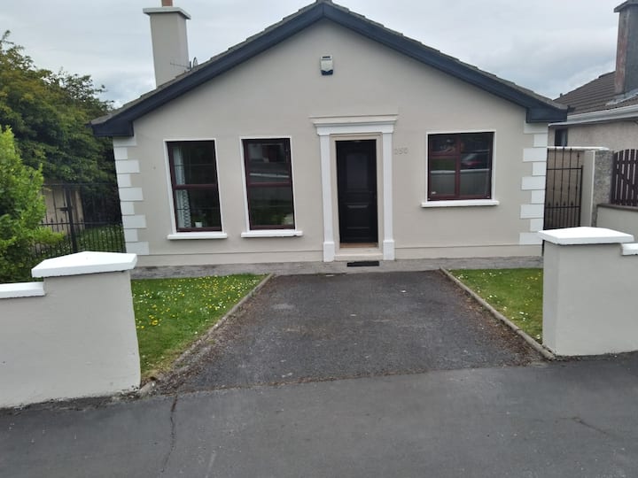
What is recorded here
Depicted as a small hachured enclosure (int. diam. c. 8m) on the 1839 edition of the OS 6-inch map and on the OS 1:2500 plan (surveyed 1912-16). No trace of it survives. It was located on a hillock that has been quarried out to a depth of c. 10m.
Compiled by: Olive Alcock
Date of upload: 17 November 2014
The monument record does not grant public access. Check the route and ask the landowner before entering private land.
- What survives
- Recorded monument
Places near here
 IndicatedHoly well · 575 yd
 R.C. ChapelChapel · 834 yd
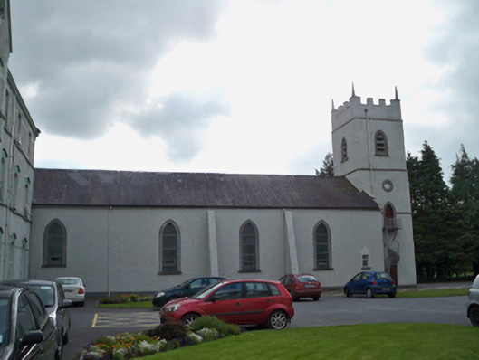 Saint Patrick's Redemptorist Monasterychurch/chapel · 837 yd
 Curraghmore FortFairy fort / earthen ringfort · 1128 yd
 MoteCastle, motte and bailey · 1.1 mi
 Castle (in ruins)Castle, tower house · 1.5 mi
 Moyard WoodWood · 2.1 mi
 Athenry AbbeyHeritage attraction · 3.3 mi
 Athenry CastleHeritage attraction · 3.3 mi
 Horse-chestnutHorse-chestnut · 3.5 mi
 First Battle of Athenrybattle · 3.8 mi
 Barrack IslandIslet · 7.1 mi
Other information
Photo: Credit not shown in the picture search · Rights wording not checked; contact us if this picture should be removed