What is recorded here
Fairy fort in Gloves South: a 45-metre ring of earth in Galway pasture, old enough to be called a lisheen and familiar enough to be taken for granted. The name does half the work. It tells you people believed the shape was not ordinary, that it belonged to another kind of inhabitant, and they left it alone because it was not theirs to explain.
In undulating pastureland. Marked on the 1933 edition of the OS 6-inch map as a circular enclosure (diam. c. 45m). Described by Cody (1989, 289, no. 113) as a low grass-covered circular mound (H c. 1m) delimited by a gently sloping edge. It was known locally as a ‘Lisheen’.
Compiled by: Galway Archaeological Survey, UCG
Date of upload: 11 March 2019
The monument record does not grant public access. Check the route and ask the landowner before entering private land.
- What survives
- Recorded monument
Places near here
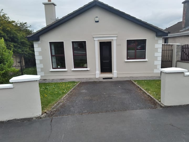 Enclosure in BruskEnclosure · 1422 yd
 Dominican FriaryReligious house, unclassified · 1625 yd
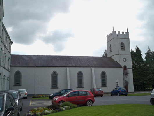 Saint Patrick's Redemptorist Monasterychurch/chapel · 1662 yd
 IndicatedHoly well · 1.0 mi
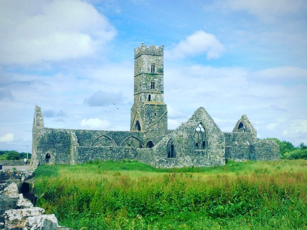 Cloonbrusk Castle (in ruins)Castle, unclassified · 1.6 mi
 MoteCastle, motte and bailey · 1.9 mi
 Moyard WoodWood · 2.7 mi
 Athenry AbbeyHeritage attraction · 3.1 mi
 Athenry CastleHeritage attraction · 3.2 mi
 Horse-chestnutHorse-chestnut · 3.4 mi
 First Battle of Athenrybattle · 3.5 mi
 Barrack IslandIslet · 7.7 mi