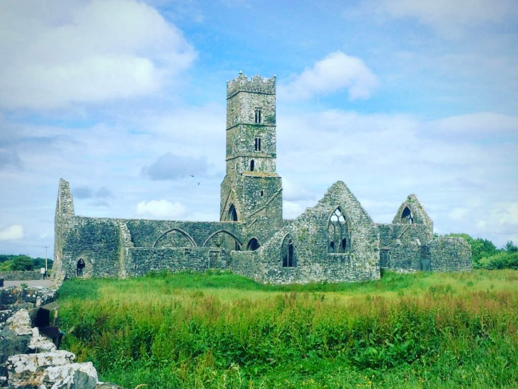
What is recorded here
Cloonbrusk Castle vanished from Galway grassland between the first and third survey maps, leaving no stone for modern eyes to touch. What holders guarded, whether families or fleeing traders, the soil has swallowed. A castle needs a room, a door and a reason to resist; Cloonbrusk may have had all three before the field took them back.
In gently undulating grassland. Marked on 1st ed. of OS 6-inch map as a rectangular building, on 3rd ed. (1933) only a fragment of a wall, aligned NE-SW, is indicated. No visible surface trace survives.
The above description is derived from the published 'Archaeological Inventory of County Galway Vol. II - North Galway'. Compiled by Olive Alcock, Kathy de hÓra and Paul Gosling (Dublin: Stationery Office, 1999).
Date of upload: 05 August 2010
The monument record does not grant public access. Check the route and ask the landowner before entering private land.
- What survives
- Recorded monument
Places near here
 Man-made underground passage in Ballyboggan (graigabbey Ed)Man-made underground passage · 337 yd
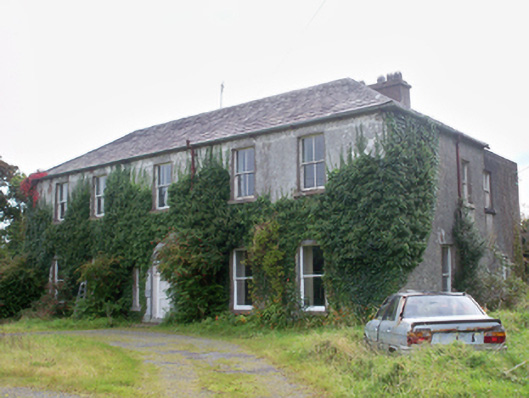 Graigabbey HouseOfficially recorded historic building · 1726 yd
 Ecclesiastical enclosure in Kilcornan (kilconnell By.)Ecclesiastical enclosure · 1.4 mi
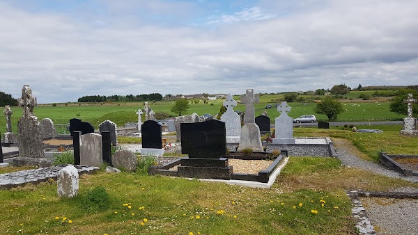 Templemoyle ChurchChurch · 1.8 mi
 NewcastleCastle, unclassified · 1.9 mi
 First Battle of Athenrybattle · 2.9 miCastle or King Johns Court (in ruins)Castle, Anglo-Norman masonry castle · 2.9 mi
 Athenry CastleHeritage attraction · 2.9 mi
 Athenry AbbeyHeritage attraction · 3.0 mi
 Horse-chestnutHorse-chestnut · 3.0 mi
 Moyard WoodWood · 3.8 mi
 Menlough IRAMemorial · 8.5 mi
Other information
Photo: Credit not shown in the picture search · Rights wording not checked; contact us if this picture should be removed