
What is recorded here
On a W-facing slope in grass and bogland. A large poorly preserved roughly oval enclosure (NE-SW 212.5m, N-S 180m) defined for the most part by a scarp with traces of an earthen bank from N to ESE. An external fosse is visible at N and survives intermittently from ESE to SW. No visible surface trace of the enclosing elements survives from W to N or at ENE where there is a large gap (Wth 27.6m). A number of field boundaries cut across the interior and a CBG (GA084-085002-) is associated. Adjoining the enclosure at SE is a roughly oval annexe (NE-SW c. 80m) enclosed by an earthen bank and external fosse. A watermill (GA084-085004-) lies immediately to SW. When coupled with the td. name, the association of the CBG and the large enclosure suggest that this is the site of an early ecclesiastical settlement. (CUCAP BDN 70; ASGAP 337:2, 5)
The above description is derived from the published 'Archaeological Inventory of County Galway Vol. II - North Galway'. Compiled by Olive Alcock, Kathy de hÓra and Paul Gosling (Dublin: Stationery Office, 1999).
Date of upload: 05 August 2010
The monument record does not grant public access. Check the route and ask the landowner before entering private land.
- What survives
- Recorded monument
Places near here
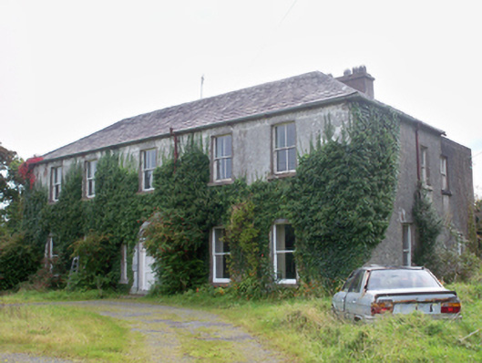 Graigabbey HouseOfficially recorded historic building · 1431 yd
 Quarry in Carrowntober WestQuarry · 1455 yd
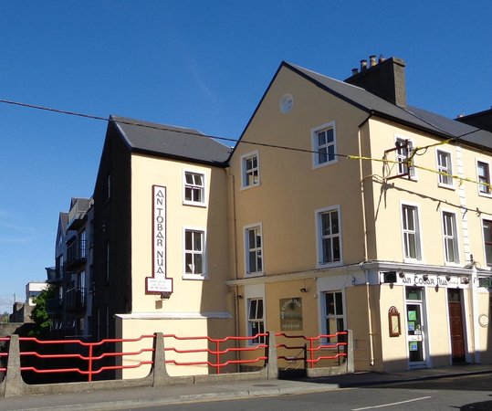 Tobar PadraigHoly well · 1591 yd
 Castle (in ruins)Castle, unclassified · 1.2 mi
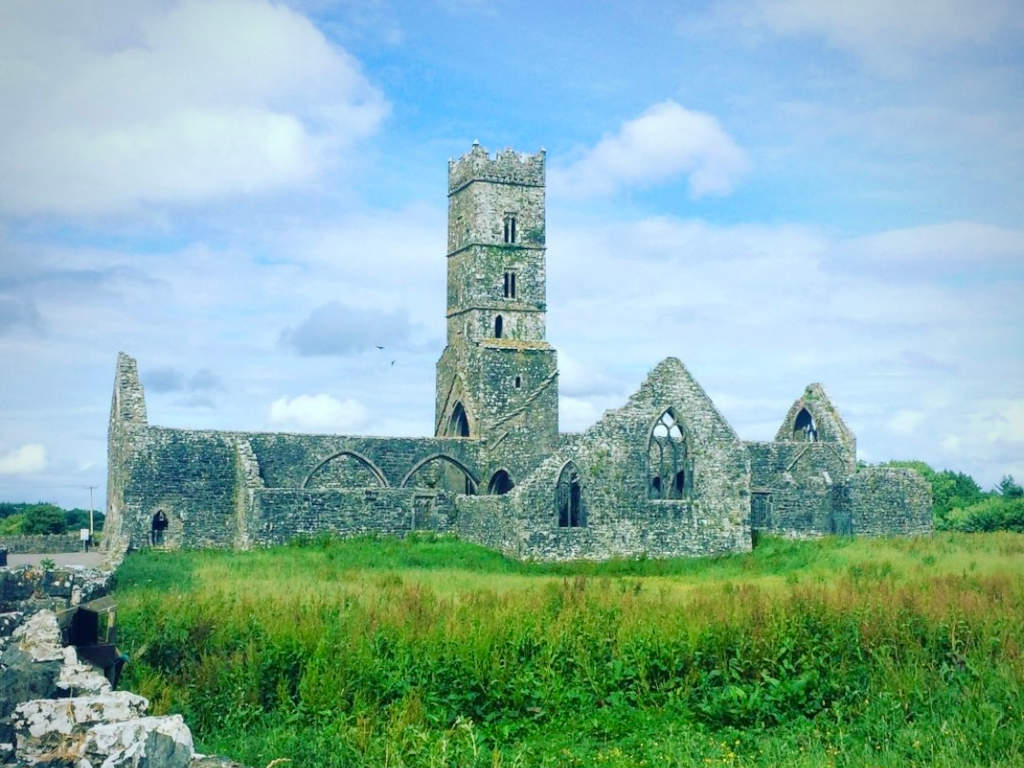 Cloonbrusk Castle (in ruins)Castle, unclassified · 1.4 mi
 Man-made underground passage in Ballyboggan (graigabbey Ed)Man-made underground passage · 1.4 mi
 First Battle of Athenrybattle · 1.6 mi
 Athenry CastleHeritage attraction · 1.6 mi
 Athenry AbbeyHeritage attraction · 1.7 mi
 Horse-chestnutHorse-chestnut · 1.7 mi
 Moyard WoodWood · 3.3 mi
 Barrack IslandIslet · 9.6 mi
Other information
Photo: Credit not shown in the picture search · Rights wording not checked; contact us if this picture should be removed