
What is recorded here
Castle (in ruins) at Ballydavid Middle was recorded as a roughly square ruin in 1892, but later dismissed as a possible Dominican farmhouse because no castle features remained visible. That doubt is not a mistake; it is the shape of the place. A chamber may have belonged to monks, a lord, or a family that learned patience from rust and rain. The grass has erased the answer, leaving behind a rare human lesson: some truths must be carried, not proven.
In gently rolling pastureland. A ‘Castle (in ruins)’ is named on the 1838 edition of the OS 6-inch map among a group of small group of buildings and while it is unclear to which building it refers, it most like was the largest one in the group. It is depicted on the OS 25-inch plan dated 1892 as the remains of a roughly square building (c. 14m N-S; c. 13m E-W), only its E wall and the returns of the N and S walls are shown. It was omitted from the subsequent 25-inch plan dated 1927-8 (Cody 1989, 345-6). According to Cody (ibid.), this was done on the on basis of information provided by a local antiquarian (Matilda Redington) who noted that ‘the ruins were probably those of farmhouse of the Dominican monks at Athenry and not a castle’. Without details of the building it is not possible to verify this and the possibility remains that it could have been a castle. No visible surface traces survives. A number of farm buildings have been built to the S it.
Compiled by: Galway Archaeological Survey, UCG
Date of upload: 20 August 2021
The monument record does not grant public access. Check the route and ask the landowner before entering private land.
- What survives
- Recorded monument
Places near here
 Castle (in ruins)Castle, tower house · 426 yd
 Church (in ruins)Church · 744 yd
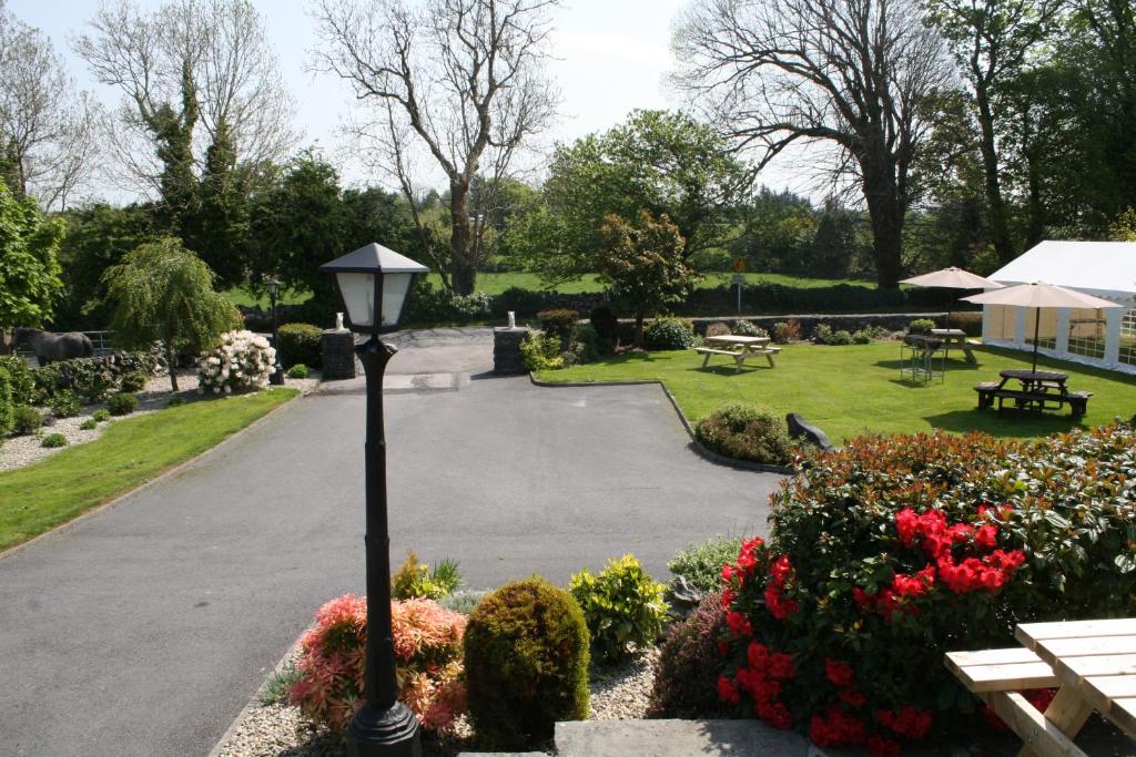 Quarry in Carrowntober WestQuarry · 923 yd
 First Battle of Athenrybattle · 1.1 mi
 Ecclesiastical enclosure in Kilcornan (kilconnell By.)Ecclesiastical enclosure · 1.2 mi
 Enclosure in MontpelierEnclosure · 1.3 mi
 Horse-chestnutHorse-chestnut · 1.6 miCastle or King Johns Court (in ruins)Castle, Anglo-Norman masonry castle · 1.7 mi
 Athenry CastleHeritage attraction · 1.7 mi
 Athenry AbbeyHeritage attraction · 1.8 mi
 The HazelWood · 3.5 mi
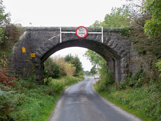 bridgebridge · 1118 yd
Other information
Photo: Credit not shown in the picture search · Rights wording not checked; contact us if this picture should be removed