
What is recorded here
In level grassland. Poorly preserved subcircular enclosure (36.5m E-W; 33.7m N-S) defined by a
degraded bank. A shallow hollow (L c. 14m; Wth c. 6m) is evident in the SW quadrant.
Compiled by: Galway Archaeological Survey, UCG
Date of upload: 18 April 2019
A local fairy fort (ringfort/rath); wider significance not recorded.
The monument record does not grant public access. Check the route and ask the landowner before entering private land.
- What survives
- Recorded monument
Places near here
 TempleballyReligious house, Franciscan Third Order Regular · 1757 yd
 Ecclesiastical enclosure in Templemoyle (graigabbey Ed)Ecclesiastical enclosure · 1759 yd
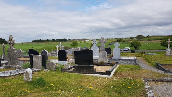 Templemoyle ChurchChurch · 1.0 mi
 LaghtaLeacht cuimhne · 1.3 mi
 NewcastleCastle, unclassified · 1.4 mi
 Castle (in ruins)Castle, tower house · 1.6 mi
 First Battle of Athenrybattle · 2.4 mi
 Horse-chestnutHorse-chestnut · 2.9 mi
 The HazelWood · 3.0 mi
 Athenry CastleHeritage attraction · 3.0 mi
 Athenry AbbeyHeritage attraction · 3.1 mi
 Menlough IRAMemorial · 8.2 mi
Other information
Photo: Credit not shown in the picture search · Rights wording not checked; contact us if this picture should be removed