
What is recorded here
On the summit of a low rise overlooking a large bog to SW. It consists of a subcircular enclosure, possibly multivallate, surrounding church (GA084-127002-). The line of the outer enclosure (WNW-ESE 280m) is indicated on 3rd ed. of OS 6-inch map (1933) by field and td. boundaries curving from SE through S to WNW. Aerial reconnaissance in July 1971 (CUCAP BGI 35) shows a possible earthen bank along the line of this enclosure from SW to W. The aerial photograph also revealed the presence of a middle enclosure (ENE-WSW c. 150m), represented by an earthen scarp curving from E through S to SW. A number of subdivisions and a series of cultivation ridges are visible internally, particularly in the area immediately S of the modern graveyard. The latter has a notably curved SE boundary wall, possibly representing the line of a third inner enclosure immediately around the church. The church itself appears to be roughly centrally placed within both it and the middle enclosure. A holy well (GA087-127004-) lies 80m to SSW of the church, in S part of the outer enclosure, and a burial ground (GA071-082----) c. 100m to NE, just outside it. Another church (GA071-082003-) stands 265m to N. This monument also extends on to OS sheet 71 (GA071-082004-).
The above description is derived from the published 'Archaeological Inventory of County Galway Vol. II - North Galway'. Compiled by Olive Alcock, Kathy de hÓra and Paul Gosling (Dublin: Stationery Office, 1999).
See also: J. Mannion, Tech Saxon. 'An Anglo-Saxon monastic settlement in early medieval east Galway.' Journal of the Galway Archaeological and Historical Society 60(2008), 9-21.
Date of upload/revision: 01 July 2014
A local fairy fort (ringfort/rath); wider significance not recorded.
The monument record does not grant public access. Check the route and ask the landowner before entering private land.
- What survives
- Recorded monument
Places near here
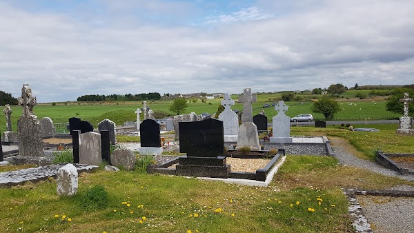 Templemoyle ChurchChurch · 47 yd
 TempleballyReligious house, Franciscan Third Order Regular · 253 yd
 NewcastleCastle, unclassified · 825 yd
 Enclosure in MontpelierEnclosure · 1759 yd
 Man-made underground passage in Ballyboggan (graigabbey Ed)Man-made underground passage · 1.6 mi
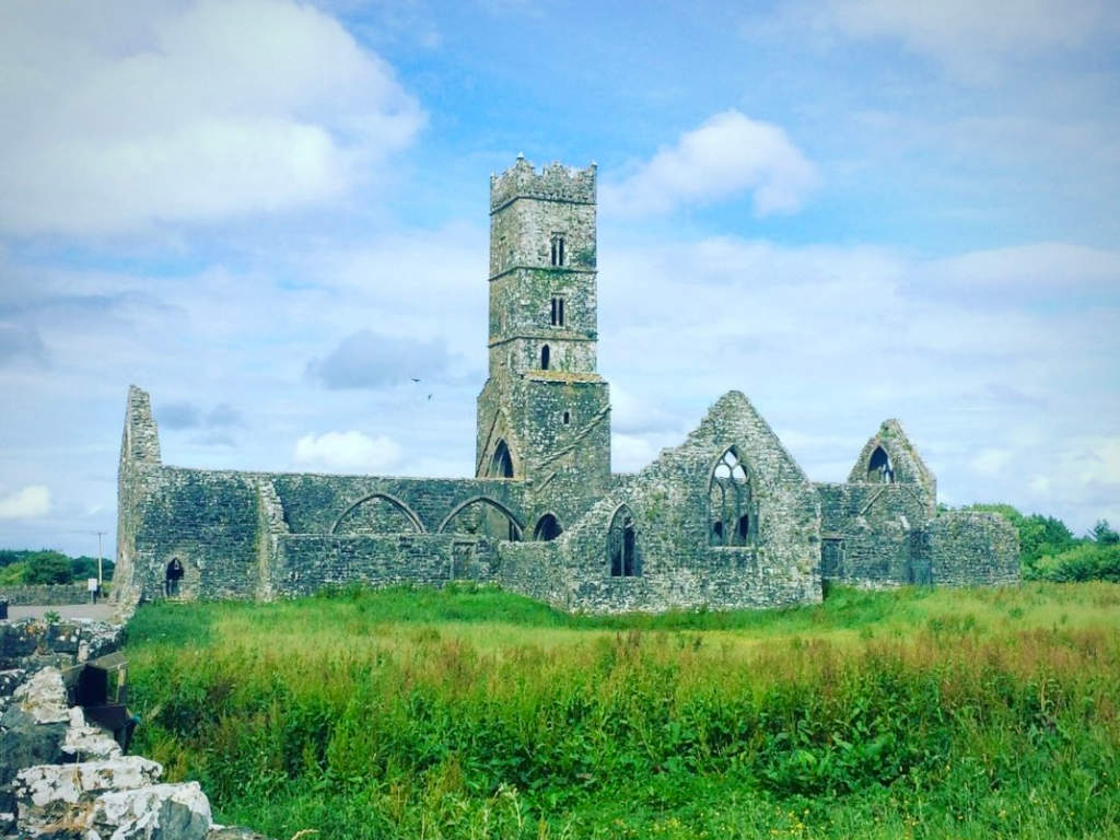 Cloonbrusk Castle (in ruins)Castle, unclassified · 1.8 mi
 First Battle of Athenrybattle · 3.0 mi
 Horse-chestnutHorse-chestnut · 3.3 mi
 Athenry CastleHeritage attraction · 3.4 mi
 Athenry AbbeyHeritage attraction · 3.5 mi
 The HazelWood · 3.9 mi
 Menlough IRAMemorial · 7.6 mi
Other information
Photo: Credit not shown in the picture search · Rights wording not checked; contact us if this picture should be removed