What is recorded here
Situated on a slight rise on a level landscape. A church (ME051-006----) was within an oval graveyard (dims c. 55m N-S; c. 35m E-W) defined by an earthen bank (at SW: Wth 3.2m; int. H 0.5m; ext. H 1.8m) with trees and an outer flat-bottomed fosse or drain (at SW: Wth of top 4m; Wth of base 1.4m; ext. D 0.7m). St. Michael's holy well (ME051-006002-) is within the graveyard.
Compiled by: Michael Moore
Date of upload: 12 November, 2014
The monument record does not grant public access. Check the route and ask the landowner before entering private land.
- What survives
- Recorded monument
Places near here
 Enclosure in LoughsallaghEnclosure · 373 yd
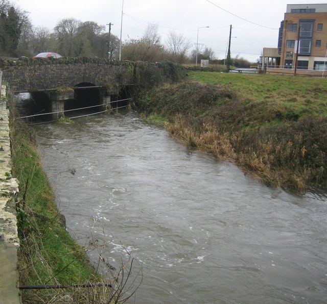 Clonee Bridgebridge · 759 yd
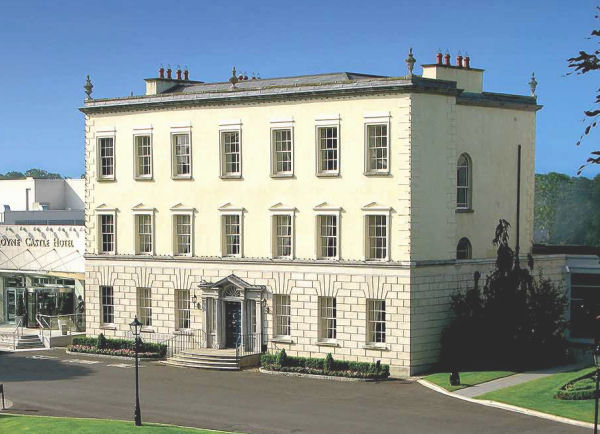 Enclosure in DunboyneEnclosure · 824 yd
 Church in Clonee (dunboyne By.)Church · 902 yd
 CastleCastle, ringwork · 1.1 mi
 TyrrelstownWood · 2.4 mi
 Church, GraveyardChurch · 2.5 mi
 Graveyard in BuzzardstownGraveyard · 2.6 mi
 Wesley's WoodsWood · 2.9 mi
 Blanchardstown Centre information deskVisitor information · 3.0 mi
 Luttrellstown CastleCastle · 3.0 mi
 Griffeen Valley WalkWalking route · 5.0 mi