What is recorded here
Located on a level landscape at the bottom of a SE-facing slope, and c. 700m W of the South Slob of Wexford harbour. A graveyard is described on the 1839 and1925 editions of the OS 6-inch map attached to Kerloge church (WX042-006001-), but it has been removed and details of its size cannot be ascertained. St. James’ Well (WX042-006003-) is still extant c. 10m S of the church wall. Archaeological monitoring (21E0154) by Y. Whitty of a watermain trench under the road c. 50m to the NW produced no related material (excavation.ie 2021:059).
Compiled by: Michael Moore
Date of upload: 7 May, 2013
Amended: 4 November 2021
This remains an important historical record, but the official description says the monument is no longer visible or has been destroyed. The monument record does not grant public access. Check the route and ask the landowner before entering private land.
- What survives
- No visible remains or recorded as destroyed
Places near here
 Church (in ruins)Church · 8 yd
 St. James WellHoly well · 35 yd
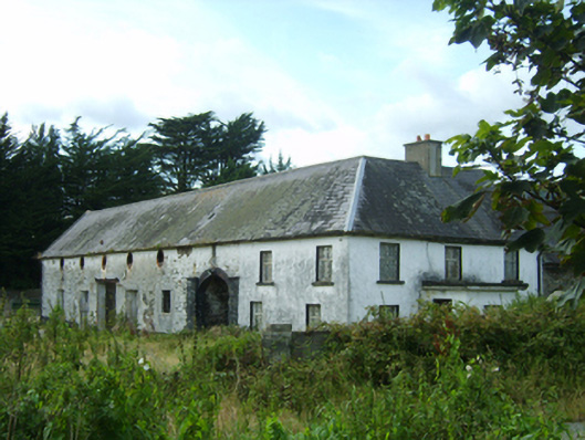 farm housefarm house · 62 yd
 Hut site in RocksboroughHut site · 343 yd
 Site of CastleCastle, unclassified · 1036 yd
 Lock Out GateMemorial · 1.1 mi
 Sack of Wexfordsiege · 1.2 mi
 Siege of Wexfordsiege · 1.2 mi
 Halla KennyMemorial · 1.4 mi
 Three Sisters River CruisesHeritage attraction · 1.6 mi
 Castle (in ruinis)Castle, tower house · 2.0 mi
 American SweetgumAmerican Sweetgum · 2.5 mi