What is recorded here
On S side of road; within bounds of possible early ecclesiastical enclosure (5167). Roughly rectangular graveyard (c. 50m N-S; c. 40m E-W) with narrow extension on W side; in occasional use, overgrown but earliest inscribed headstones appear to date from late 18th century. Site of ancient parish church (CO085-041002-) of Inishkenny; church here in ruins in 1615, in 1702 described as roofless ruin 'of no use' (Brady 1863, vol 1, 128-9). C of I church build on site in 1809, described by Lewis (1837, vol. 2, 23) as 'a small plain edifice with a low tower and spire'; very little survives except parts of N, E and W walls of rectangular structure (c. 15m E-W; c. 10m N-S) standing c. 1m high and heavily overgrown; named 'St. John's Church' on OS 6-inch map.
On S side of road; within bounds of possible early ecclesiastical enclosure (5167). Roughly rectangular graveyard (c. 50m N-S; c. 40m E-W) with narrow extension on W side; in occasional use, overgrown but earliest inscribed headstones appear to date from late 18th century. Site of ancient parish church (CO085-041002-) of Inishkenny; church here in ruins in 1615, in 1702 described as roofless ruin 'of no use'…
From the National Monuments Service (Archaeological Survey of Ireland) record CO085-041001
The monument record does not grant public access. Check the route and ask the landowner before entering private land.
- What survives
- Recorded monument
Places near here
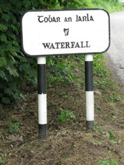 sign post423 yd
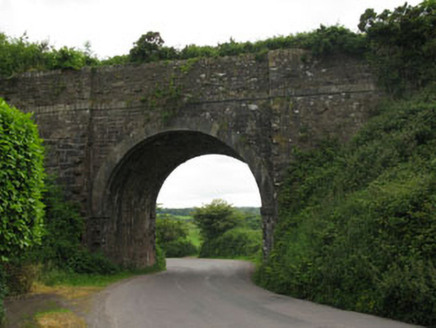 bridge584 yd
 waterfallVisitor information · 586 yd
 Auburn VillaHouse · 857 yd
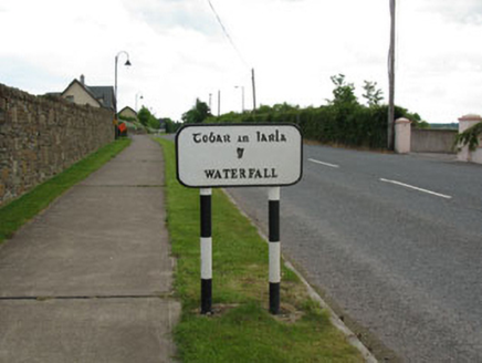 sign post1099 yd
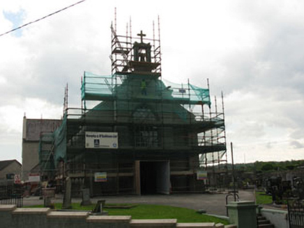 St James' Roman Catholic ChurchChurch/chapel · 1196 yd
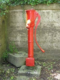 water pump1381 yd
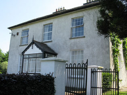 CastlewhiteHouse · 1592 yd
 Abbey BridgeBridge · 1.2 mi
 Lavitts QuayMemorial · 4.8 mi
 Father MatthewMonument · 4.9 mi
 Ladys WellHoly well · 5.0 mi
Pictures: National Inventory of Architectural Heritage; Hywel Williams, Geograph · CC BY-SA 2.0; P L Chadwick, Wikimedia Commons · CC BY-SA 2.0; Michael O'Sheil, Wikimedia Commons · CC BY-SA 4.0
More archaeology and monuments in County Cork · All of County Cork
What do you know about this place?