
What is recorded here
In 2011 a graveyard survey carried out by Ann Frykler and Robert Hanbidge of Headland Archaeology Ltd. recorded the following details: ‘The graveyard is positioned on a slight rise with level pasture bounded to the north‐east by the tidal stretches of the River Feale. Within the graveyard immediately to the north of…
Read the whole record
From the National Monuments Service (Archaeological Survey of Ireland) record KE010-062001
Places near here
Photo credits
- Maker not stated on source page, www.alamy.com
- Maker not stated on source page, www.tripadvisor.co.uk
- Maker not stated on source page, tr.pinterest.com
- Maker not stated on source page, uk.pinterest.com
- Maker not stated on source page, www.wildernessireland.com
- National Inventory of Architectural Heritage
- Maker not stated on source page, www.patrickcomerford.com
- Maker not stated on source page, www.istockphoto.com
- Maker not stated on source page, commons.wikimedia.org
- Maker not stated on source page, electricbluefood.com
- Kmcnamee, Wikimedia Commons · CC BY-SA 4.0
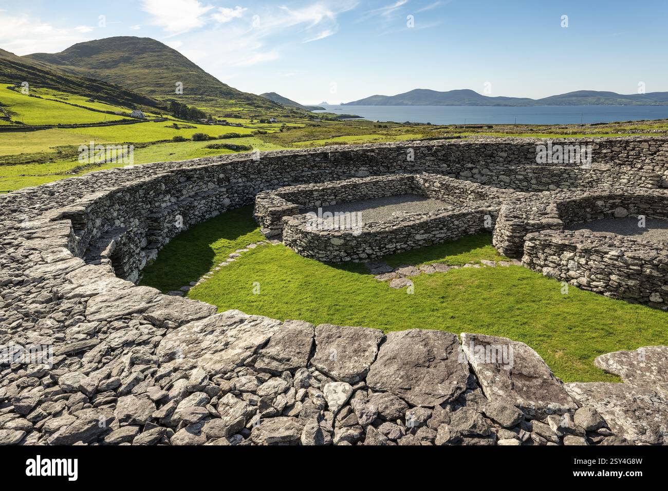 Ecclesiastical enclosure in KillaridaEcclesiastical enclosure · 1447 yd
Explorer Tom Ecclesiastical enclosure in Killarida is having a serious identity crisis, mostly because half of it got chopped by a…
 Church in KillaridaChurch · 1469 yd
Explorer Tom Church in Killarida in County Kerry claims a royal visit that nobody can actually prove happened. It’s just a…
 Fairy fort / earthen ringfort in BallynagareFairy fort / earthen ringfort · 1.2 mi
Explorer Tom Fairy fort / earthen ringfort in Ballynagare is gone now, but I swear it can still hear the gossip through the ground.…
 Fairy fort / earthen ringfort in DrommurrinFairy fort / earthen ringfort · 1.6 mi
Explorer Tom Fairy fort / earthen ringfort in Drommurrin is so flat, even the dog guarding it has given up and gone home. The bank…
Fairy fort / earthen ringfort in BallintogherFairy fort / earthen ringfort · 1.7 miExplorer Tom Fairy fort / earthen ringfort in Ballintogher has been fighting the weather since the ice age. The rain keeps trying to…
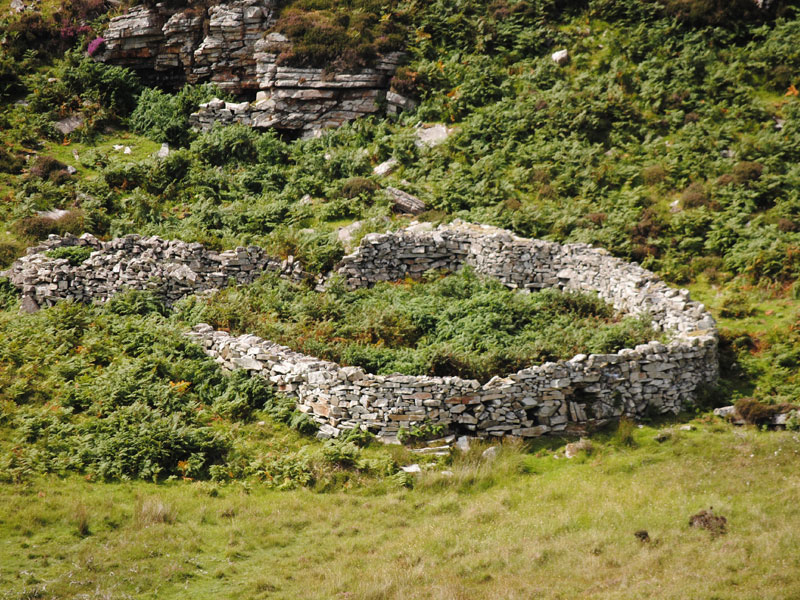 Fairy fort / earthen ringfort in FarrandeenFairy fort / earthen ringfort · 1.8 mi
Explorer Tom Fairy fort / earthen ringfort in Farrandeen used to have a cave inside, which is suspiciously convenient for any shy…
 FitzMaurice MonumentMonument · 1.9 mi
Explorer Tom FitzMaurice Monument in County Kerry is basically a giant surveying pin that lost its tower in '62 but kept the…
 Church in MonumentChurch · 1.9 mi
Explorer Tom Church in Monument has what it would get on its tombstone: 'Sorry, I was busy building a mausoleum for my family.' The…
 Fairy fort / earthen ringfort in Ballyhorgan SouthFairy fort / earthen ringfort · 1.9 mi
Explorer Tom This tiny Ballyhorgan fort would survive zombies by pretending to be a puddle. It’s gone now, but its spirit remains…
 Graveyard in Kilfeighny NorthGraveyard · 4.0 mi
Explorer Tom Graveyard in Kilfeighny North nearly made the news when a ghost allegedly complained about the noise from the tractor.…
 Kilshenane CemeteryGraveyard · 4.3 mi
Explorer Tom Kilshenane Cemetery in County Kerry has a New Year’s resolution to stop judging people who park their cars on the…
 Jackie Finnerty Park, St. Senan'sGAA ground · 4.4 mi
More archaeology and monuments in County Kerry · All of County Kerry

What do you know about this place?Tap to add a comment or ask a question