What is recorded here
Drommurrin held a broad earthen ring thirty metres across, high enough to command the surrounding pasture before ploughs and time erased most of its shape. The fort faced every direction, inviting observation or warning, but its southern bank has vanished entirely and the rest now lies barely half a metre above the grass. It is called a fairy fort in local tradition, yet no fairy has been seen doing the building or remembering the loss. What remains is a shallow oval in open country, large enough to have contained lives and small enough to be forgotten by the fields that swallowed it.
Internal diameter 30m N-S, 24m E-W
Situated in pastureland SW of KE010-052----, this univallate rath has good views in all directions. It has been much levelled since 1976. Today all that remains is a sub-circular area enclosed by a very low, wide earthen bank which is barely distinguishable; the S to SW sector of the bank cannot be traced at all. The bank ranges in width at the base from 9m-14m and is about .5m high.
The above description is derived from C. Toal, ‘North Kerry Archaeological Survey’. Dingle. Brandon in association with FAS Training and Employment Authority (1995), no. 404. In certain instances the entries have been revised and updated in the light of recent research.
Date of upload: 2 August 2013
The monument record does not grant public access. Check the route and ask the landowner before entering private land.
- What survives
- Recorded monument
Places near here
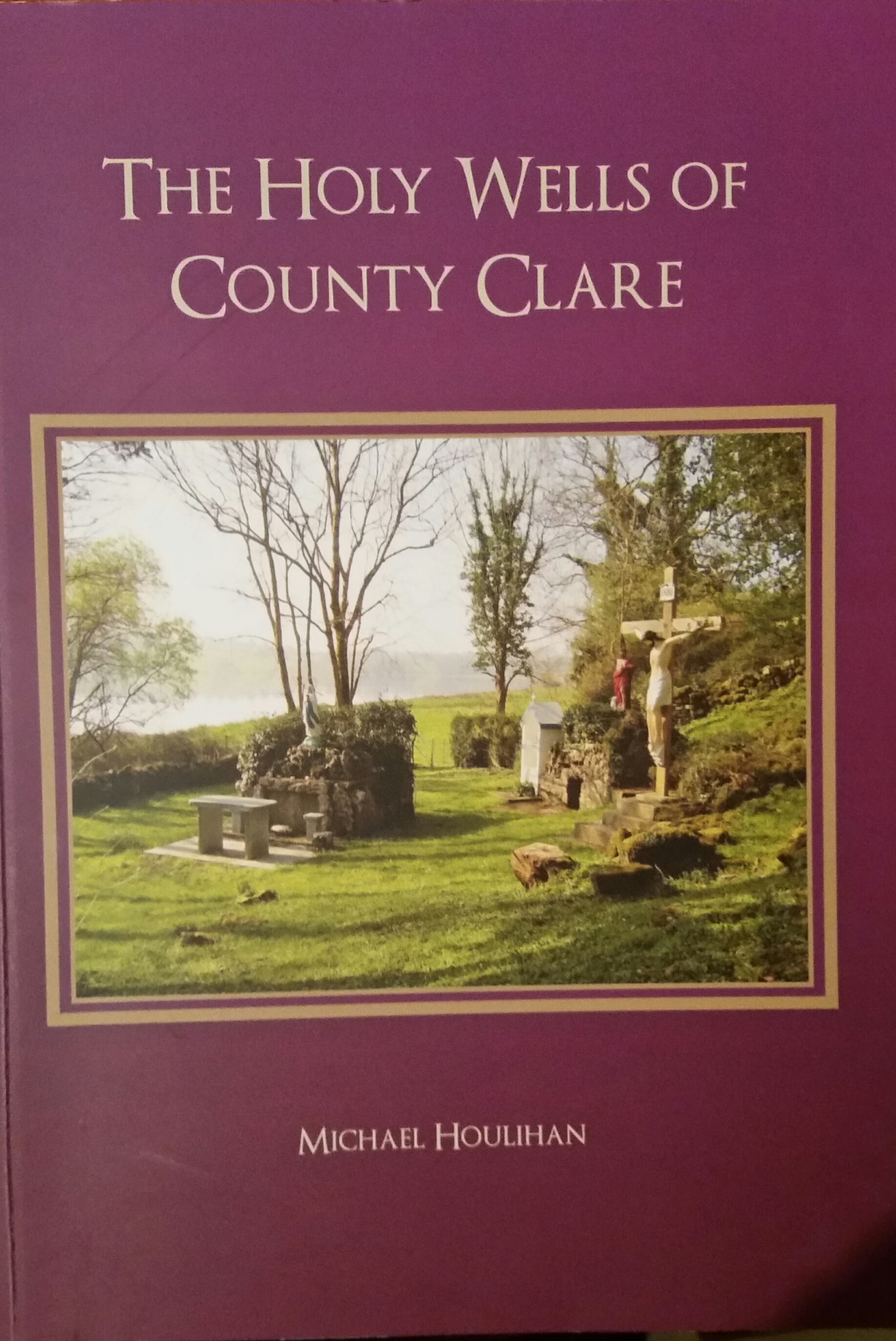 Holy well in GortacrossaneHoly well · 979 yd
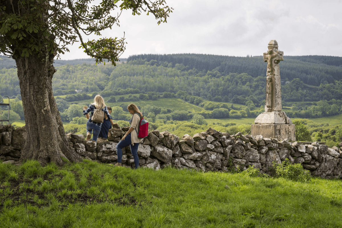 Dysert Church (in ruins)Church · 1.6 mi
 LisnaboorheeArchaeological place · 1.7 mi
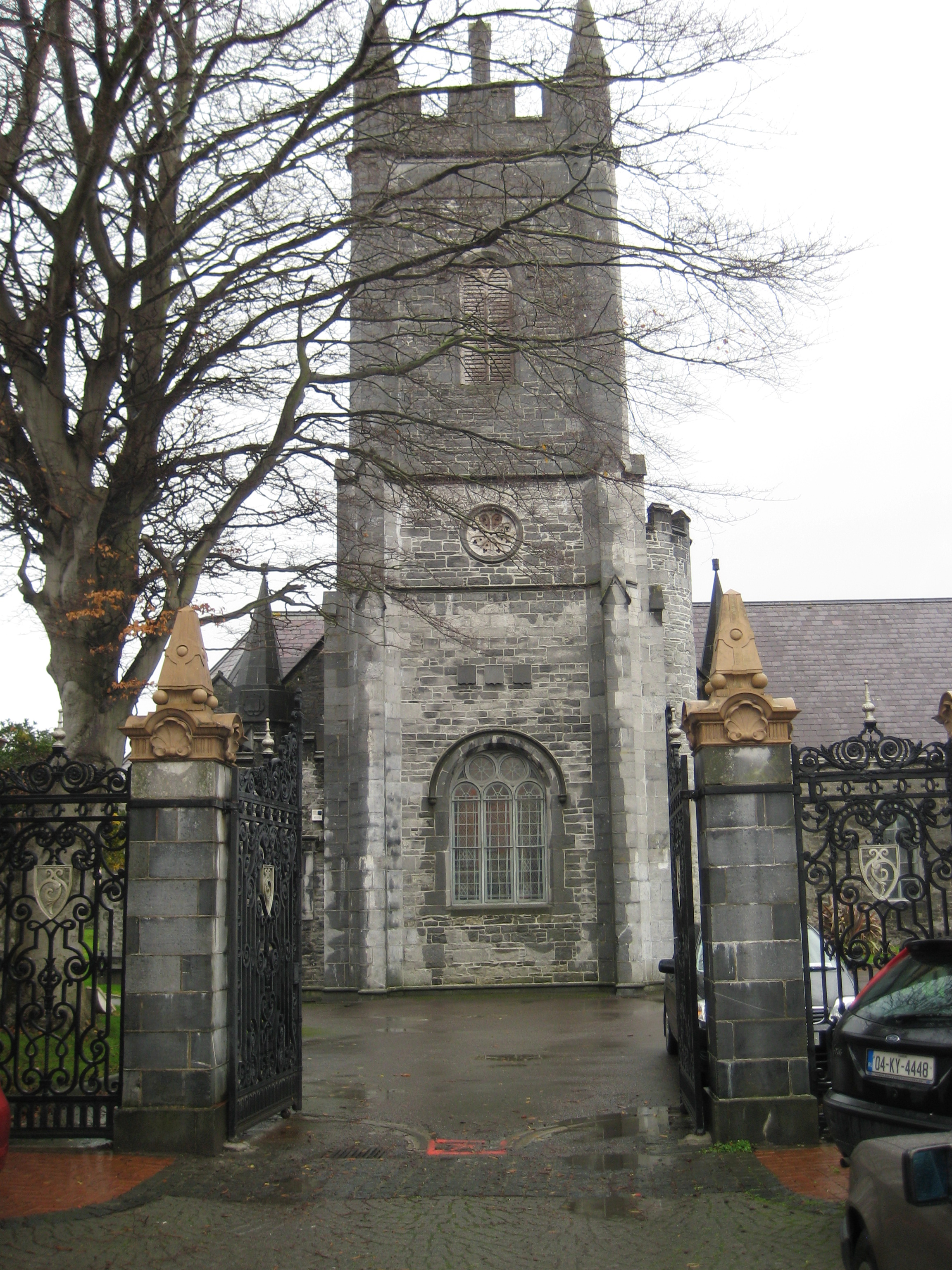 Galey Church (in ruins)Church · 2.1 mi
 Bawn in GlouriaBawn · 2.7 mi
 Lartigue MonorailMuseum · 3.1 mi
 Bawn in BallydonohoeBawn · 3.2 mi
 John B. Keane GroveMemorial · 3.2 mi
 Kerry Writers' MuseumMuseum · 3.3 mi
 Bryan MacMahonMemorial · 3.3 mi
 Men's BeachBeach / strand · 6.5 mi
 Ladies' BeachBeach / strand · 6.5 mi