What is recorded here
Fairy fort in Farrandeen, County Kerry: a circular earthen ringfort marked on 1841-42 and 1914-15 maps, with a cave noted inside on the earlier edition. No surface trace remains, yet the drawing implies a made place: a boundary, a shelter, a life led beside the field. What the ring excluded, what the cave held, and who stopped coming are gone. The field keeps the shape only indirectly, in soil, memory and the oddity of a fort nobody can point to.
This circular enclosure is situated SE of KE016-076---- in the same field. It is marked on the 1841-42 and 1914-15 OS maps, and on the earlier edition 'cave' (KE016-013001-) is marked in the interior. No surface trace survives today.
The above description is derived from C. Toal, ‘North Kerry Archaeological Survey’. Dingle. Brandon in association with FAS Training and Employment Authority (1995), no. 626. In certain instances the entries have been revised and updated in the light of recent research.
Date of upload: 2 August 2013
The monument record does not grant public access. Check the route and ask the landowner before entering private land.
- What survives
- Recorded monument
Places near here
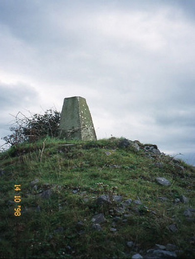 FitzMaurice Monumentmonument · 351 yd
 Enclosure in Clogher (clanmaurice By., Lixnaw Ed)Enclosure · 356 yd
 Ecclesiastical enclosure in BallynagareEcclesiastical enclosure · 681 yd
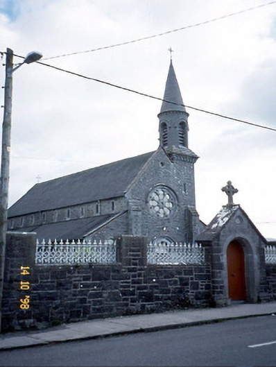 Saint Michael's Catholic Churchchurch/chapel · 698 yd
 CastleCastle, Anglo-Norman masonry castle · 1566 yd
 Kilflynn Nature ReserveNature reserve · 4.3 mi
 Ballymacaquinn Castle (remains of)Castle · 5.1 mi
 Kerry Writers' MuseumMuseum · 5.8 mi
 Bryan MacMahonMemorial · 5.8 mi
 Lartigue MonorailMuseum · 5.8 mi
 John B. Keane GroveMemorial · 5.8 mi
 Stack's MountainMountain / peak · 6.4 mi