
What is recorded here
This sub-circular enclosure, dotted in on the 1841-42 OS map, is also delimited on the later 1914-15 map. 'Clooncraff Fort' (KE016-0040012-) lies in the centre of the enclosure, and another rath (KE016-004003-) is situated on its SE perimeter, cut slightly by the enclosing bank. This possible ecclesiastical enclosure is c 264m N-S and 330m E-W. The enclosure is situated c 530m NW of Kilbinane Church (site of) (KE016-014001-).
The above description is derived from C. Toal, ‘North Kerry Archaeological Survey’. Dingle. Brandon in association with FAS Training and Employment Authority (1995), no. 835. In certain instances the entries have been revised and updated in the light of recent research.
Date of upload: 3 August 2013
The monument record does not grant public access. Check the route and ask the landowner before entering private land.
- What survives
- Recorded monument
Places near here
 Enclosure in Clogher (clanmaurice By., Lixnaw Ed)Enclosure · 429 yd
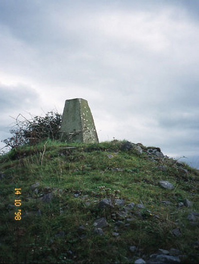 FitzMaurice Monumentmonument · 989 yd
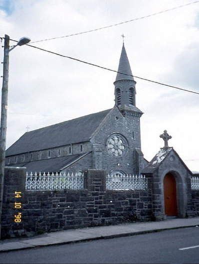 Saint Michael's Catholic Churchchurch/chapel · 1174 yd
 CastleCastle, Anglo-Norman masonry castle · 1.0 mi
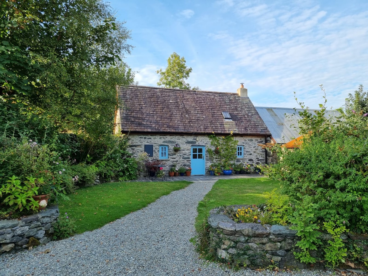 Hermitage in LixnawHermitage · 1.1 mi
 Kilflynn Nature ReserveNature reserve · 4.6 mi
 Ballymacaquinn Castle (remains of)Castle · 5.1 mi
 Lartigue MonorailMuseum · 5.8 mi
 Kerry Writers' MuseumMuseum · 5.8 mi
 Bryan MacMahonMemorial · 5.8 mi
 John B. Keane GroveMemorial · 5.9 mi
 Clashmealcon CavesCave · 6.1 mi
Other information
Photo: Credit not shown in the picture search · Rights wording not checked; contact us if this picture should be removed