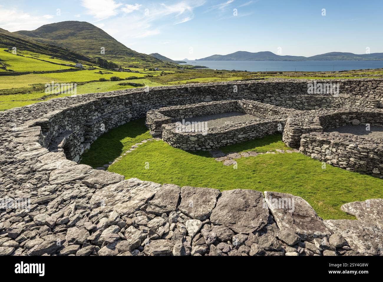
What is recorded here
This site is situated on low-lying land and the W sector would appear to have been cut by a fieldbank running in a NE-SW direction. No surface trace of a continuance of this site can be seen in the field on the W side of the fieldbank. What remains today is an inner triangular area surrounded by an outer earthen bank…
Read the whole record
From the National Monuments Service (Archaeological Survey of Ireland) record KE010-047001
Places near here
Photo credits
- Maker not stated on source page, www.tripadvisor.co.uk
- Maker not stated on source page, uk.pinterest.com
- Maker not stated on source page, www.irishmirror.ie
- Maker not stated on source page, tr.pinterest.com
- Maker not stated on source page, pl.fusedlearning.com
- Maker not stated on source page, en.wikipedia.org
- Maker not stated on source page, www.pinterest.com
- Maker not stated on source page, www.alamy.com
- Maker not stated on source page, commons.wikimedia.org
- Kmcnamee, Wikimedia Commons · CC BY-SA 4.0
 Church in KillaridaChurch · 23 yd
Explorer Tom Church in Killarida in County Kerry claims a royal visit that nobody can actually prove happened. It’s just a…
 Fairy fort / earthen ringfort in DrommurrinFairy fort / earthen ringfort · 1.1 mi
Explorer Tom Fairy fort / earthen ringfort in Drommurrin is so flat, even the dog guarding it has given up and gone home. The bank…
 Fairy fort / earthen ringfort in DromalughtFairy fort / earthen ringfort · 1.2 mi
Explorer Tom Fairy fort / earthen ringfort in Dromalught took about four billion cups of tea to build properly. It shows up as a…
 Enclosure in GortacrossaneEnclosure · 1.6 mi
Explorer Tom Enclosure in Gortacrossane has disappeared so thoroughly it might be plotting something. When nobody's looking, it…
 Fairy fort / earthen ringfort in AhascraFairy fort / earthen ringfort · 1.7 mi
Explorer Tom Fairy fort / earthen ringfort in Ahascra is secretly proud of one very specific potato that grows near its edge. It’s…
 Fairy fort / earthen ringfort in Ballyegan (iraghticonnor By.)Fairy fort / earthen ringfort · 1.7 mi
Explorer Tom Another Fairy fort / earthen ringfort in Ballyegan that never actually showed up for work. The most dramatic thing? A…
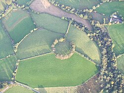 Fairy fort / earthen ringfort in MweevuckFairy fort / earthen ringfort · 1.8 mi
Explorer Tom Fairy fort / earthen ringfort in Mweevuck ended up here because it took a wrong turn and was too lazy to go back. It’s…
 Fairy fort / earthen ringfort in Inch West (iraghticonnor By.)Fairy fort / earthen ringfort · 1.8 mi
Explorer Tom Fairy fort / earthen ringfort in Inch West was built on a bargain where someone promised it eternal visibility for one…
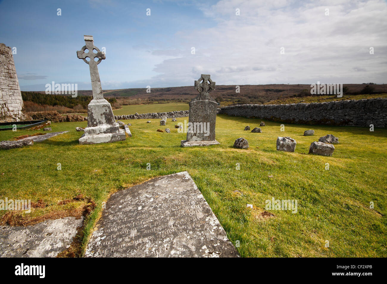 Mapped cemeteryCemetery · 2.2 mi
Explorer Tom Mapped cemetery in County Kerry would say in a job interview that it has excellent references, though all of them are…
 Graveyard in Kilfeighny NorthGraveyard · 4.7 mi
Explorer Tom Graveyard in Kilfeighny North nearly made the news when a ghost allegedly complained about the noise from the tractor.…
 Jackie Finnerty Park, St. Senan'sGAA ground · 4.7 miChurch in KilshenaneChurch · 4.7 mi
Explorer Tom Church in Kilshenane would describe itself to a stranger as 'a bit of a mystery with great bones'. It’s got that quiet…
More archaeology and monuments in County Kerry · All of County Kerry

What do you know about this place?Tap to add a comment or ask a question